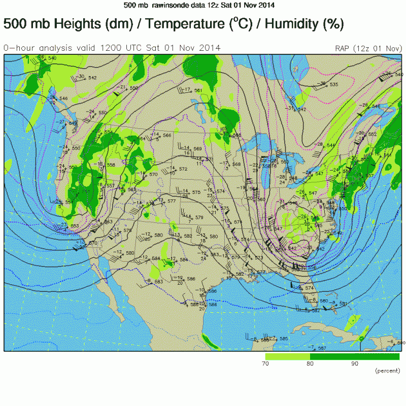
Yeah asd123, to follow up with your post above,the GFS Parallel shows the 540 thickness line goes extremely deep all the way into extreme Northern Mexico south of Brownsville and well into the NW GOM. It depicts an extremely deep, cold core pool of air all the way down to the Texas and Louisiana coast. Very rare to see that if that verified. The anomulous trough axis appears negatively tilted on the GFSP. Still 10 days out, but a plausible scenario now. This pattern is similar to the one we saw at the beginning of the month right along the Eastern U.S. seaboard directly, and a very strong cold core Low within the base of the upper trough dropped down into SC and gave them their earliest snowfall on record. If the 240 hour GFS parallel comes close to verifying, any moisture and lift in place with those low heights and thicknesses, snow would be possible all the way down to the Gulf Coast as crazy as that would be the week of Thanksgiving.
November 1st 500 mb analysis (courtesy of NDG above on this page)

GFS Parallel 240 hr

Also, with the SSW and its effects asd123, a big storm Thanksgiving week over the Eastern CONUS could be looming. Of course, we had that discussion a week to 10 days ago about the SSW and its potential effects with a big storm occuring somewhere across the Eastern U.S.,and indeed it just may take place Thanksgiving week. Also, another significant cold spell could be in store for our region again Thanksgiving week, as depicted in the GFS and EURO runs which gatorcane posted above as well. One big factor would be if the pattern the GFS is depicting evolves out 10 days, there will be the potential of copious amount of moisture moving out of the GOM and spreading over much of Florida. Still some potential interesting days ahead.


