
Moderator: S2k Moderators


hurricanekid416 wrote:So how much time does it have on water
Dean4Storms wrote:Stormcenter wrote:I agreeTheStormExpert wrote:Is it me or does it look to be less definable on radar?
Looks that way because Convection has fired over the center, you don't see the little bands spiraling around a hole so easily now.
tolakram wrote:Saved radar loop from today


TheStormExpert wrote:tolakram wrote:Saved radar loop from today
That southern side rain band doesn't look as curved as before.
Dean4Storms wrote:TheStormExpert wrote:
That southern side rain band doesn't look as curved as before.
Something that should be pointed out looking at a radar depiction in this scenario where the shear from the North being still pretty strong. The circulation is likely tilted, in other words what we see as the circulation on radar at around 5K feet is likely a bit further to the South of the surface circulation. This is still a sheared system.


northjaxpro wrote:Yeah, shear is still present, but not the crippling shear we had been seeing all this past week currently. The shear has let up enough for this Low to wrap up a bit these past 6 hours.
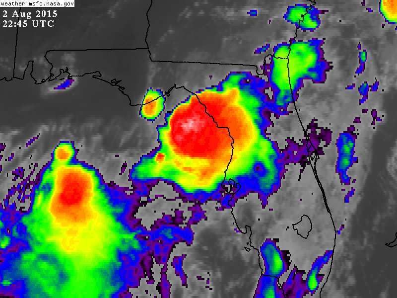
SouthDadeFish wrote:Folks, keep in mind one of the conditions necessary for classification as a tropical cyclone is persistent, organized convection. As some of you pointed out, the swirl was devoid of convection earlier today. If convection persists overnight, then we could be debating if this is a TC or not. Nonetheless, quite an interesting feature. Continues to look better organized in my opinion.


Users browsing this forum: No registered users and 26 guests