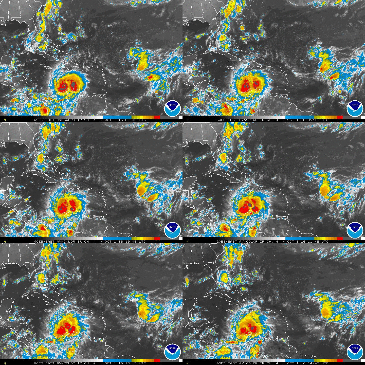
blp wrote:Almost all the ensembles onboard with something happening.
-IF- this were to happen (I have strong doubts this far out) would this likely be a subtropical system, and would there also be a good amount of rain for the southeast?
Moderator: S2k Moderators
blp wrote:Almost all the ensembles onboard with something happening.

Alyono wrote:MU trending stronger with the Gulf system. Actually looks like a TC this run

LarryWx wrote::uarrow: It comes ashore near FL Big Bend/Appalachicola late 9/30 to early 10/1 at ~1003 mb (probably TS). Lowest SLP in E GOM was ~1002 mb.


NDG wrote:I really doubt we will be seeing a strong TS in the central and northern GOM, anything past a 3-4 range forecast for the upper levels is garbage. The norm this year is that shear is very dominant, shear will not go away that fast.
Not saying that there would not be some sort of development but it it tracks towards the central and northern gulf it will be a sheared system.


Dean4Storms wrote:NDG wrote:I really doubt we will be seeing a strong TS in the central and northern GOM, anything past a 3-4 range forecast for the upper levels is garbage. The norm this year is that shear is very dominant, shear will not go away that fast.
Not saying that there would not be some sort of development but it it tracks towards the central and northern gulf it will be a sheared system.
Uhhh, not so fast my friend.....we've seen lots of highly sheared strong Tropical Storms in the Gulf and even a hurricane or two. If the shear is out of the SW and it is moving northward fast enough it could counter the effects of the shear to a degree. It is possible in my opinion.

panamatropicwatch wrote:If anything does happen it will probably be a combination of the tail end of the front which is rockin-n-rollin eastward and the nw Caribbean.
http://tropicwatch.info/avn-animated.gif

Users browsing this forum: No registered users and 277 guests