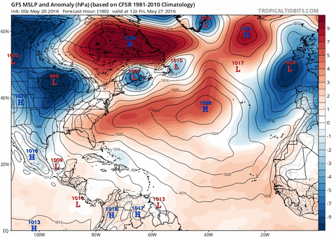
terstorm1012 wrote:is that storm depicted for early next week on the Euro and GFS tropical? It seems more a nor'easter to me
Yep it's non tropical.
Moderator: S2k Moderators

terstorm1012 wrote:is that storm depicted for early next week on the Euro and GFS tropical? It seems more a nor'easter to me


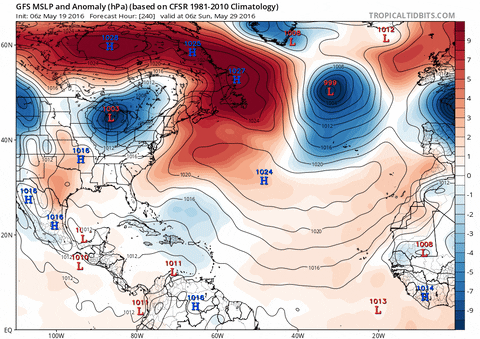
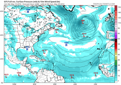
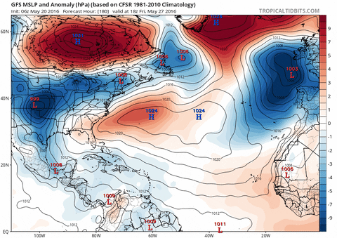
wxman57 wrote:I wouldn't be so sure that the low off the East U.S. Coast next Mon/Tue won't be classified as a subtropical storm. It may separate from the front enough to be classified STS. I'm not talking about the first low Saturday night/Sunday, I'm talking about the storm behind it on Monday afternoon/Tuesday.
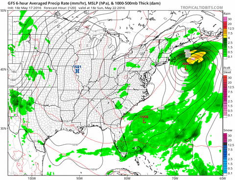
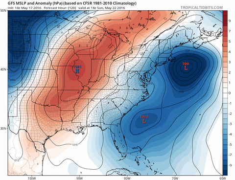
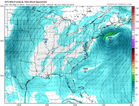
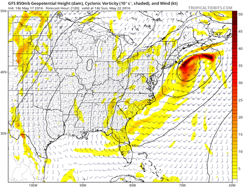


wxman57 wrote:I wouldn't be so sure that the low off the East U.S. Coast next Mon/Tue won't be classified as a subtropical storm. It may separate from the front enough to be classified STS. I'm not talking about the first low Saturday night/Sunday, I'm talking about the storm behind it on Monday afternoon/Tuesday.


NDG wrote:Two runs in a row that the Euro shows possible weak development over the central Caribbean late next week.
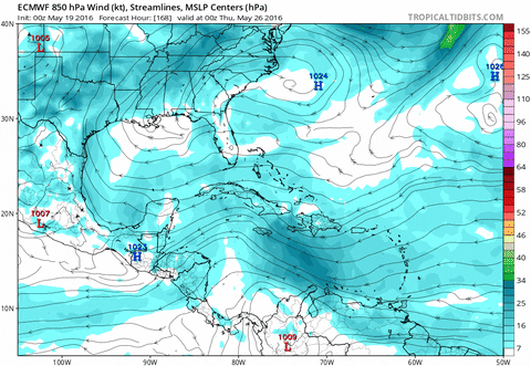
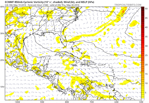
TheStormExpert wrote:NDG wrote:Two runs in a row that the Euro shows possible weak development over the central Caribbean late next week.
Add the 00z Euro on Thursday morning to that. To be honest I do not expect much if any development from this due to wind shear still being too strong. Give it a few more weeks at least and this will be an area to closely watch!
NDG wrote:Yes it will probably be a weak one if at all, even the Euro has been the best in its 7-10 day range.


Javlin wrote:Then I thought wind shear is harder to forecast than a possible phantom storm.


PTrackerLA wrote:Euro carib low would jibe with what JB has been saying showing up in the weeklies towards the end of the month.
Side note: I'm so thrilled with the animated GIF feature on tropical tidbits now. I'm going to be dizzy reading this forum late at night this season but it will help so much to share with others!
Javlin wrote:Then I thought wind shear is harder to forecast than a possible phantom storm.
TheStormExpert wrote:Javlin wrote:Then I thought wind shear is harder to forecast than a possible phantom storm.
It is, but usually in May it is strong throughout the Caribbean and GoM due to the subtropical jet.
Steve wrote:Oh it is (btw hey Javlin)..


Users browsing this forum: Google Adsense [Bot], JaviT and 84 guests

