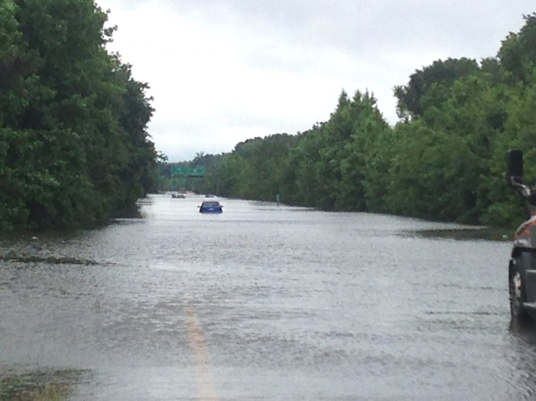
#473 Postby cycloneye » Sun May 29, 2016 3:34 pm
BULLETIN
TROPICAL DEPRESSION BONNIE ADVISORY NUMBER 9
NWS NATIONAL HURRICANE CENTER MIAMI FL AL022016
500 PM EDT SUN MAY 29 2016
...BONNIE STALLS NORTHWEST OF CHARLESTON SOUTH CAROLINA...
...LOCALLY HEAVY RAINS STILL AFFECTING PORTIONS OF THE CAROLINAS
AND EAST-CENTRAL GEORGIA...
SUMMARY OF 500 PM EDT...2100 UTC...INFORMATION
----------------------------------------------
LOCATION...33.0N 80.4W
ABOUT 25 MI...45 KM WNW OF CHARLESTON SOUTH CAROLINA
ABOUT 100 MI...160 KM WSW OF MYRTLE BEACH SOUTH CAROLINA
MAXIMUM SUSTAINED WINDS...30 MPH...45 KM/H
PRESENT MOVEMENT...STATIONARY
MINIMUM CENTRAL PRESSURE...1011 MB...29.86 INCHES
WATCHES AND WARNINGS
--------------------
There are no coastal watches or warnings in effect.
For information specific to your area, including possible inland
watches and warnings, please monitor products issued by your
local National Weather Service forecast office.
DISCUSSION AND 48-HOUR OUTLOOK
------------------------------
At 500 PM EDT (2100 UTC), the center of Tropical Depression Bonnie
was located near latitude 33.0 North, longitude 80.4 West. The
depression has become nearly stationary, but a slow northeastward
motion is forecast to begin tonight and continue through Monday
night. On the forecast track, the center of Bonnie is expected to
move over northeastern South Carolina through Monday, and pass near
or over the southeastern coast of North Carolina Monday night and
Tuesday.
Maximum sustained winds have decreased to near 30 mph (45 km/h) with
higher gusts. Little change in strength is expected during the next
48 hours.
The estimated minimum central pressure is 1011 mb (29.86 inches).
HAZARDS AFFECTING LAND
----------------------
RAINFALL: Bonnie is expected to produce additional rainfall
accumulations of 2 to 3 inches with isolated maximum amounts of 6
inches across east-central Georgia, central and eastern South
Carolina, and eastern North Carolina. Farther north, the moisture
from Bonnie will produce rainfall amounts of 1 to 2 inches with
isolated maximum amounts of 4 inches across eastern portions of the
mid-Atlantic region into southern New England through Wednesday.
Some rainfall totals so far include 8.20 inches near Ridgeland,
South Carolina, and 7.27 inches near Oliver, Georgia.
SURF: Bonnie is expected to produce dangerous surf and rip current
conditions along portions of the southeastern United States coast
through the weekend. Please consult products from your local
weather office.
NEXT ADVISORY
-------------
Next complete advisory at 1100 PM EDT.
$$
Forecaster Brown
TROPICAL DEPRESSION BONNIE DISCUSSION NUMBER 9
NWS NATIONAL HURRICANE CENTER MIAMI FL AL022016
500 PM EDT SUN MAY 29 2016
The much anticipated reduction in Bonnie's forward motion appears to
have occurred this afternoon. Since the previous advisory, the
tropical cyclone jogged westward and has become nearly stationary
just northwest of Charleston, South Carolina. The highest wind
observations this afternoon have been 25-30 kt at the Fort Pulaski
C-Man site near the Georgia/South Carolina border around 1700 UTC.
Since the time, the highest wind reports have been 20-25 kt over
water, and the initial wind speed has been reduced to 25 kt for this
advisory.
Bonnie is expected to meander near the south-central coast of South
Carolina overnight, before beginning a northeastward motion on
Monday around the northwestern portion of a low- to mid-level ridge
over the western Atlantic. In 2 to 3 days, a slightly faster
northeastward or east-northeastward motion is forecast as the low-
to mid-level westerly flow off the Mid-Atlantic coast strengthens.
The global models are in generally good agreement of this scenario,
but there are some forward speed differences, especially beyond 72
hours. The NHC track is similar to the previous advisory and is
once again close to the GFS/ECMWF consensus.
Since a portion of the circulation is expected to remain over water
during the next few days, little change in strength is expected.
After exiting the coast of North Carolina in about 72 hours, the
cyclone will be moving over cool waters, which should cause Bonnie
to become post-tropical.
Locally heavy rains continue to be the primary concern from Bonnie.
Isolated rainfall amounts of 6 to 8 inches have already been
reported in portions of eastern Georgia and southern South Carolina.
Additional rainfall amounts of 1 to 3 inches are possible.
FORECAST POSITIONS AND MAX WINDS
INIT 29/2100Z 33.0N 80.4W 25 KT 30 MPH...INLAND
12H 30/0600Z 33.2N 80.1W 25 KT 30 MPH...INLAND
24H 30/1800Z 33.7N 79.4W 25 KT 30 MPH...INLAND
36H 31/0600Z 34.0N 78.8W 25 KT 30 MPH...INLAND
48H 31/1800Z 34.4N 78.0W 25 KT 30 MPH...INLAND
72H 01/1800Z 35.4N 76.4W 25 KT 30 MPH...POST-TROP/REMNT LOW
96H 02/1800Z 37.0N 74.5W 25 KT 30 MPH...POST-TROP/REMNT LOW
120H 03/1800Z 38.5N 71.5W 25 KT 30 MPH...POST-TROP/REMNT LOW
$$
Forecaster Brown
0 likes
Visit the Caribbean-Central America Weather Thread where you can find at first post web cams,radars
and observations from Caribbean basin members
Click Here


