stormlover2013 wrote:it will make the turn, I mean when have models been bad this late in the game, it will make the turn
it seems to be way futher and south though?
Moderator: S2k Moderators
stormlover2013 wrote:it will make the turn, I mean when have models been bad this late in the game, it will make the turn


HurriGuy wrote:It almost looks like the old center just completely opened up as the sun was coming up. It accelerated to the north very quickly last few frames and then gone.
http://www.ssd.noaa.gov/PS/TROP/floaters/09L/imagery/vis_lalo-animated.gif
drewschmaltz wrote:HurriGuy wrote:It almost looks like the old center just completely opened up as the sun was coming up. It accelerated to the north very quickly last few frames and then gone.
http://www.ssd.noaa.gov/PS/TROP/floaters/09L/imagery/vis_lalo-animated.gif
I saw this exact same thing in the last few frames last night... It looks like it pulls out ahead and vanishes. Obviously either pulls back in, convection covers it, or it's just an eddy. Or I have no idea.

wxman57 wrote:ConvergenceZone wrote:At least with this storm we know that we can take rapid intensification off the table. But think a 50 to 60 mph storm is still possible at this point if it's able to hit tropical storm status by tonight.
Don't assume that. Think back to Humberto in 2007 when it was about to move ashore into Galveston. Went from a 45 mph TS to nearly a Cat 2 hurricane in just a few hours.


panamatropicwatch wrote:Center appears to be just on the north side just north of heavy convection.http://weather.msfc.nasa.gov/cgi-bin/get-goes?satellite=GOES-E%20CONUS&lat=24&lon=-85&type=Animation&info=vis&zoom=1&numframes=15
whatacane wrote:drewschmaltz wrote:HurriGuy wrote:It almost looks like the old center just completely opened up as the sun was coming up. It accelerated to the north very quickly last few frames and then gone.
http://www.ssd.noaa.gov/PS/TROP/floaters/09L/imagery/vis_lalo-animated.gif
I saw this exact same thing in the last few frames last night... It looks like it pulls out ahead and vanishes. Obviously either pulls back in, convection covers it, or it's just an eddy. Or I have no idea.
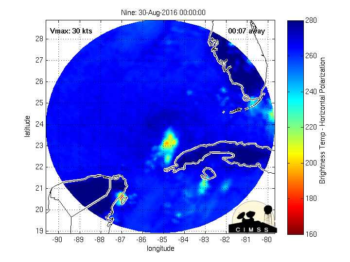
http://tropic.ssec.wisc.edu/real-time/m ... 2hr_03.gif


HurricaneRyan wrote:One of these depressions needs to become a TS already. I'm sick of waiting.


NDG wrote:The one thing that I remember a day or two ago the NHC mentioning why the GFS & Euro models have not been showing TD 9 to become a hurricane is because of dry air over the central and SW GOM that would keep the storm from intensifying too much once shear picks up from the SW thus getting entrained into the COC. If that does not happen I don't see the shear ahead of it being that strong to keep it from becoming a hurricane if the LLC and MLC become stacked during the next couple of days, IMO.
Slughitter3 wrote:The Weather Channel just passed that the Global Hawk (UAS) flying the system has been recording TS winds for the last hour or so. Anyone know where to find that data to confirm it or not? Thanks!
Users browsing this forum: No registered users and 38 guests


