Ntxw wrote:12z GFS is back to -EPO with Calender change. Not 300hrs but 200+.
Feb 1989 lurks

I'm not sure that is the loading pattern that we want to see. It also looks like that run continues cyclonic wave breaking throughout the run maintaining ridging on the West Coast.

It looks like we will have to wait for cyclonic wave breaking off the West Coast to give up before seeing any chance at legit cold. The 18z GFS was a step in the right direction in the longer range and the 18z GEFS was even better.

Still, the 12z Euro EPS was even better with a transition to anticyclonic wave breaking, -PNA, Pacific Jet Retraction, the whole package. It looks to be primed for a major -EPO driven dump by D15.
The 12z Euro EPS looks a lot like the Feb '89 loading pattern:

and it has the retracted jet as well:

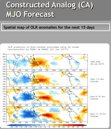
The projected pattern in the Pacific also gives credence to the Euro EPS version of things:

The D6 - 15 are pretty much what we want to see. As of the runs today, our best last chance at a big cold snap is probably in the Feb 7 - 12th period +/- some days.
However, all this probably changes at 00z tonight.
Winter time post are almost exclusively focused on the DFW area.
 The posts in this forum are NOT official forecast and should not be used as such. They are just the opinion of the poster and may or may not be backed by sound meteorological data. They are NOT endorsed by any professional institution or


