
Off-scale rain rate in the convection.
COD analysis shows a 2mb pressure drop in the last hour.
Vort max now up to 15.
I like the new NHC convention of PTC which is now enabling AMSU analysis before a storm is named.
Core-temp profile shown below.


Moderator: S2k Moderators


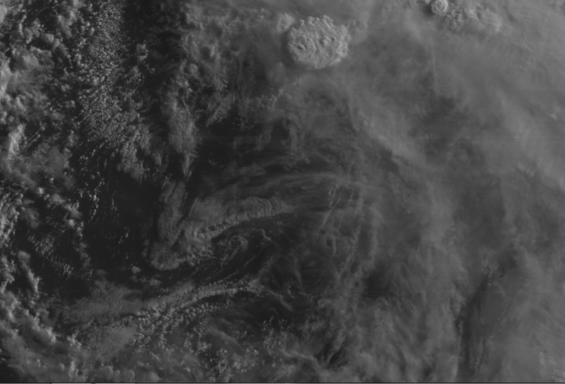
Aric Dunn wrote:There is definitely some funky re structureing of the llc this morning. There are multiple kinks in the low level cloud structure.


Aric Dunn wrote:There is definitely some funky re structureing of the llc this morning. There are multiple kinks in the low level cloud structure.

NDG wrote:Zoomed in loop.

Users browsing this forum: No registered users and 34 guests


