KC7NEC wrote:Interesting and crazy fact on TWC just now.
Irma has been a Cat 5 for 33 Hours now.... the previous record was 18 Hours.
Not true. Remember that channel doesn't always get it right.
Moderator: S2k Moderators

KC7NEC wrote:Interesting and crazy fact on TWC just now.
Irma has been a Cat 5 for 33 Hours now.... the previous record was 18 Hours.
WeatherGuesser wrote:KC7NEC wrote:Interesting and crazy fact on TWC just now.
Irma has been a Cat 5 for 33 Hours now.... the previous record was 18 Hours.
Not true. Remember that channel doesn't always get it right.

Aric Dunn wrote:yeah just mentioned that.. likely deepening even more..
Sciencerocks wrote:How much ACE has this Hurricane made? Should probably be within the top 5 for Atlantic hurricanes based on this value seeing that Ivan, Frances, Georges and Igor didn't become as strong as far east or hold such power.
Sciencerocks wrote:How much ACE has this Hurricane made? Should probably be within the top 5 for Atlantic hurricanes based on this value seeing that Ivan, Frances, Georges and Igor didn't become as strong as far east or hold such power.

Buck wrote:abajan wrote:KC7NEC wrote:Sen. Rubio on TWC right now sounds very distressed. I really am nervous and think this is going to be a second major blow in the season.
A Florida hit isn't cast in stone. While the model cluster is disconcerting, Irma is still a good way off. Just last year, wasn't there a similar agreement between models with Matthew which didn't pan out?
I don't recall the models for Matthew ever being this tight in agreement as they have become with Irma (at least at this point in the track). Even without a Florida direct hit, the impacts will still be pretty great no matter what. And for local leaders, with Harvey's impacts dominating all media the last few weeks... I'm sure they are dealing with an enormous amount of stress from their constituents.

Meteorcane wrote:1900hurricane wrote:Might be eyewall melding again. Maybe this is just how eyewall replacement is in top tier tropical cyclones experiencing good conditions and we haven't had good enough data on it until now.
All this fantastic temporal/spatial resolution remotely-sensed data we are currently receiving is going to be of great use in someone's master's thesis or phd dissertation on topics such as the one you mentioned above

CrazyC83 wrote:
I can take over again.
stormreader wrote:Aric Dunn wrote:yeah just mentioned that.. likely deepening even more..
Aric give me a probability or % if you don't mind. Models for days have talked about incredibly low pressures as the storm moves through the Bahamas and approaches S Fl (as long as it doesn't interact with Cuba).
1. What percentage do you give for Irma going sub-900 mb in pressure?
2. The big question: Does Irma have any kind of chance for attaining 200 mph sustained wind speed? What percentage?
Thanks.


BobHarlem wrote:Buck wrote:abajan wrote:A Florida hit isn't cast in stone. While the model cluster is disconcerting, Irma is still a good way off. Just last year, wasn't there a similar agreement between models with Matthew which didn't pan out?
I don't recall the models for Matthew ever being this tight in agreement as they have become with Irma (at least at this point in the track). Even without a Florida direct hit, the impacts will still be pretty great no matter what. And for local leaders, with Harvey's impacts dominating all media the last few weeks... I'm sure they are dealing with an enormous amount of stress from their constituents.
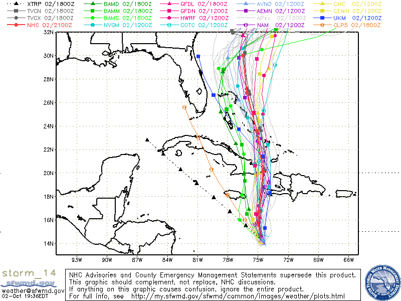
Matthew models were pretty tight (although amazingly the UKMet seemed to catch on first) you can see the SWFMD plot history for Matthew http://flhurricane.com/modelanimator.ph ... &year=2016
Here's a good example
1900hurricane wrote:Meteorcane wrote:1900hurricane wrote:Might be eyewall melding again. Maybe this is just how eyewall replacement is in top tier tropical cyclones experiencing good conditions and we haven't had good enough data on it until now.
All this fantastic temporal/spatial resolution remotely-sensed data we are currently receiving is going to be of great use in someone's master's thesis or phd dissertation on topics such as the one you mentioned above
Hopefully mine, but gotta finish undergrad first.
Seriously though, all the data we've been able to gather and continue to gather from Harvey and Irma is absolutely incredible. They're devastating now, but the results of these storms years down the road could include a much better understanding of tropical cyclones and corresponding improvements in all forms of their forecasting.

Blown Away wrote:abajan wrote:KC7NEC wrote:Sen. Rubio on TWC right now sounds very distressed. I really am nervous and think this is going to be a second major blow in the season.
A Florida hit isn't cast in stone. While the model cluster is disconcerting, Irma is still a good way off. Just last year, wasn't there a similar agreement between models with Matthew which didn't pan out?
Agree and Matt was never forecasted to landfall, just skirt like Irma may do...


Aric Dunn wrote:stormreader wrote:Aric Dunn wrote:yeah just mentioned that.. likely deepening even more..
Aric give me a probability or % if you don't mind. Models for days have talked about incredibly low pressures as the storm moves through the Bahamas and approaches S Fl (as long as it doesn't interact with Cuba).
1. What percentage do you give for Irma going sub-900 mb in pressure?
2. The big question: Does Irma have any kind of chance for attaining 200 mph sustained wind speed? What percentage?
Thanks.
no one is going to give a percentage... but given the environment, as it approaches florida sub 900 is not out of the question at all.
and yes it could hit 200.. but I dont think it will be while making landfall. near or over the bahamas over the next 36 to 48 hours yes..
Sciencerocks wrote:How much ACE has this Hurricane made? Should probably be within the top 5 for Atlantic hurricanes based on this value seeing that Ivan, Frances, Georges and Igor didn't become as strong as far east or hold such power.

1900hurricane wrote: https://twitter.com/tlyzawx/status/905592974561697792
Might be eyewall melding again. Maybe this is just how eyewall replacement is in top tier tropical cyclones experiencing good conditions and we haven't had good enough data on it until now.
Users browsing this forum: No registered users and 58 guests
