

photos upload
Moderator: S2k Moderators
hipshot wrote:
That didn't really look like a dam failure but the spillway overflow which is in place to release excess water to keep the dam from failing. Hard to tell though.
hipshot wrote:
That didn't really look like a dam failure but the spillway overflow which is in place to release excess water to keep the dam from failing. Hard to tell though.


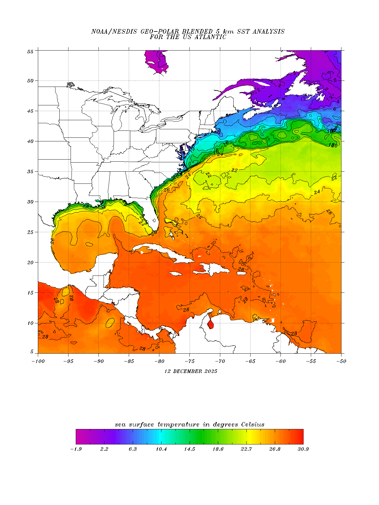
Alyono wrote:SSTs will be higher the closer it moves to the Outer banks. Jose's cold wake isn't that far west
Alyono wrote:SSTs will be higher the closer it moves to the Outer banks. Jose's cold wake isn't that far west

Alyono wrote:SSTs will be higher the closer it moves to the Outer banks. Jose's cold wake isn't that far west
Users browsing this forum: No registered users and 53 guests


