Moderator: S2k Moderators


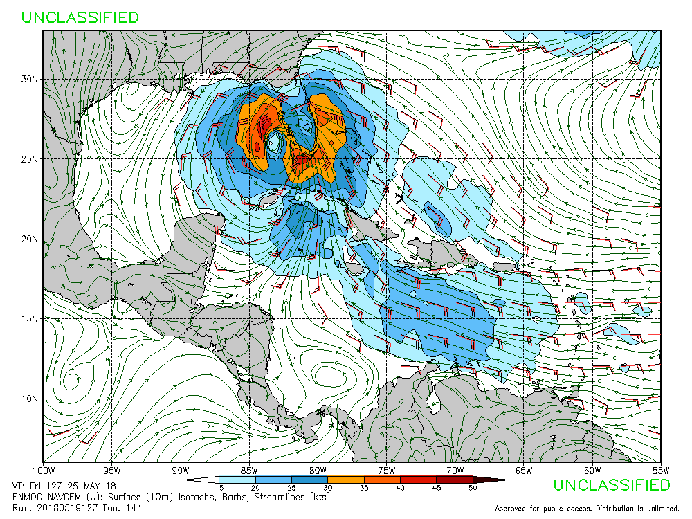
CyclonicFury wrote:Does anyone have the 12z EPS? If so, how many members show development?
Dean4Storms wrote:CyclonicFury wrote:Does anyone have the 12z EPS? If so, how many members show development?
I count 4 ECM EPS Members sub 1000mb in the Eastern Gulf headed for the Panhandle 8 days out.
CyclonicFury wrote:Dean4Storms wrote:CyclonicFury wrote:Does anyone have the 12z EPS? If so, how many members show development?
I count 4 ECM EPS Members sub 1000mb in the Eastern Gulf headed for the Panhandle 8 days out.
Thanks. So only 4 of the 50 members have development?


CyclonicFury wrote:Does anyone have the 12z EPS? If so, how many members show development?


Users browsing this forum: Google Adsense [Bot] and 131 guests