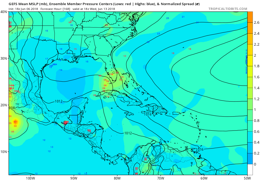
TheStormExpert wrote:Sorry but I’m not buying the Caribbean/Gulf storm! Heck, Joe B. isn’t buying still either. Likely early season feedback.
Interestingly enough, he's also been pimping the MJO (usually uses the ECMWF forecast for it). If you look at the most recent run I have, it goes back into the circle and sort of heads over to Phase 8. Often when in Phase 8, it will swing back through 1 and 2. So even by his own logic, there is a chance that something could get going down there based off his entire premise this year of Phase 2 sometimes leading to an enhanced Gulf threat (or indicating it).
http://www.cpc.ncep.noaa.gov/products/p ... ecmf.shtml