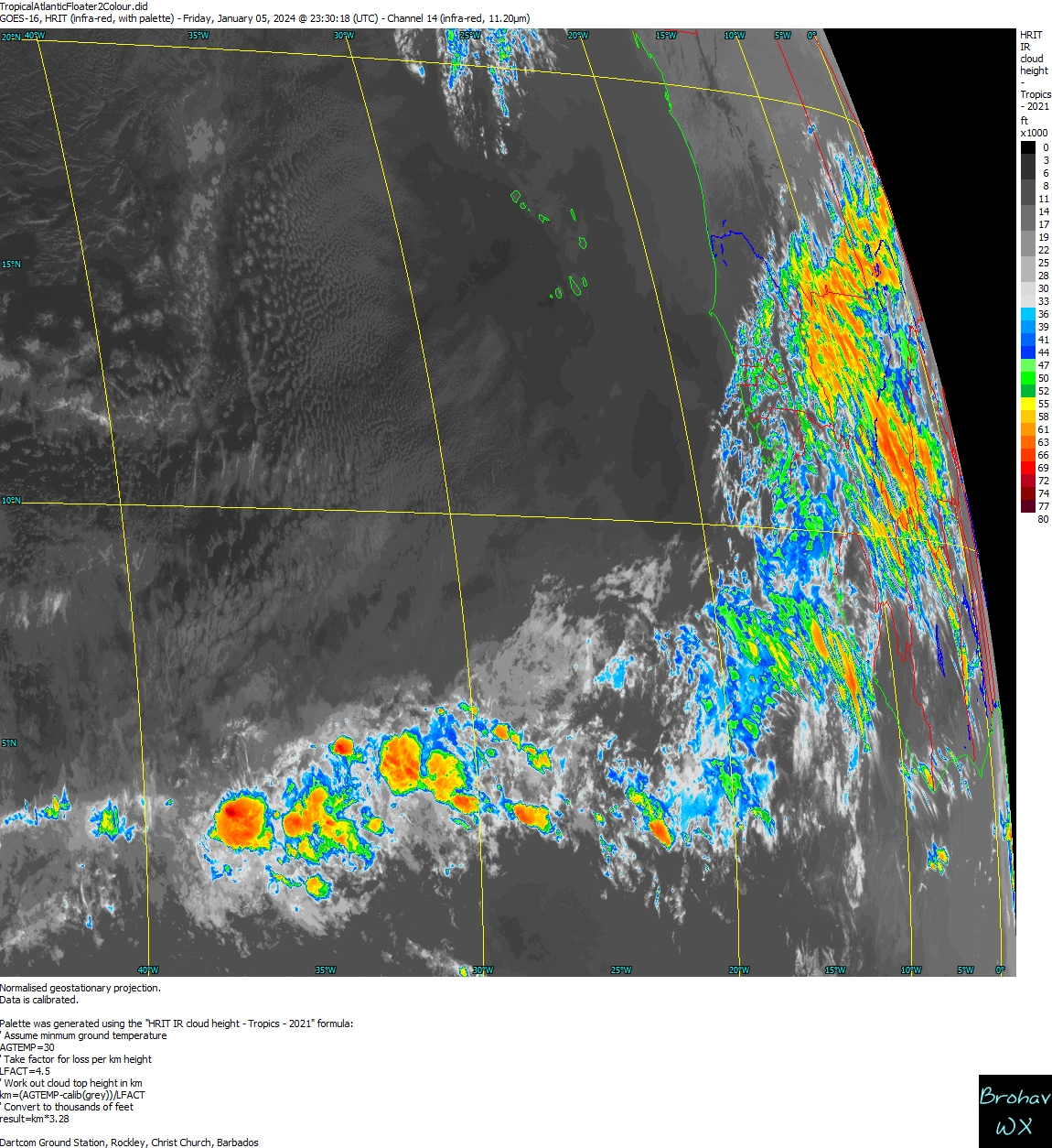
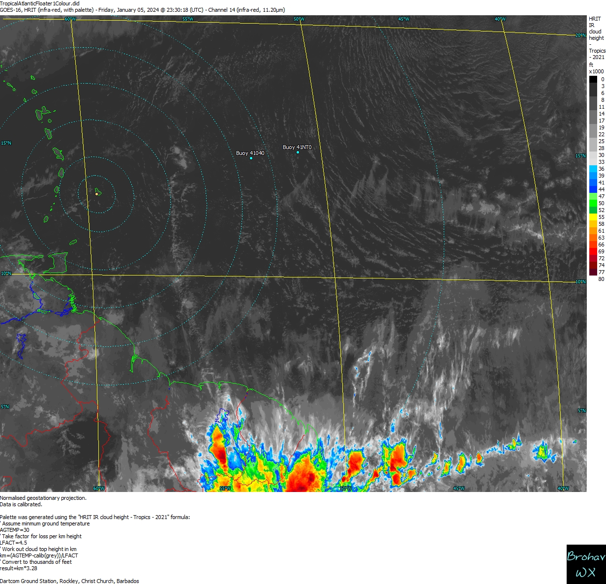
Aric Dunn wrote:ADJ and raw T number are now 2.8 and 2.9
Wait? Dvorak 2.5 is essentially 35 knots right? If I'm not mistaken, isn't there an approx. 12 hour delay generally factored in for winds to catch up to increased T #'s? One would guess that even if a minimally weak west wind exists at the surface, that ASCAT should present a pretty good swath of solid 35 knot winds in the northern quad. Does make a decent argument for NHC to capably upgrade Kirk back to a T.S. at 11:00 but I highly doubt it. They'll probably air on the side of continuity, keep it a wave and raise short term reorganization percentages to 80%. Worse case, then deal with bypassing T.D. in the a.m. if convective banding along with morning visible satellite leave no alternative.