#2040 Postby EnnisTx » Tue Jan 01, 2019 12:41 am
National Weather Service still not that impressed with any of the changes.
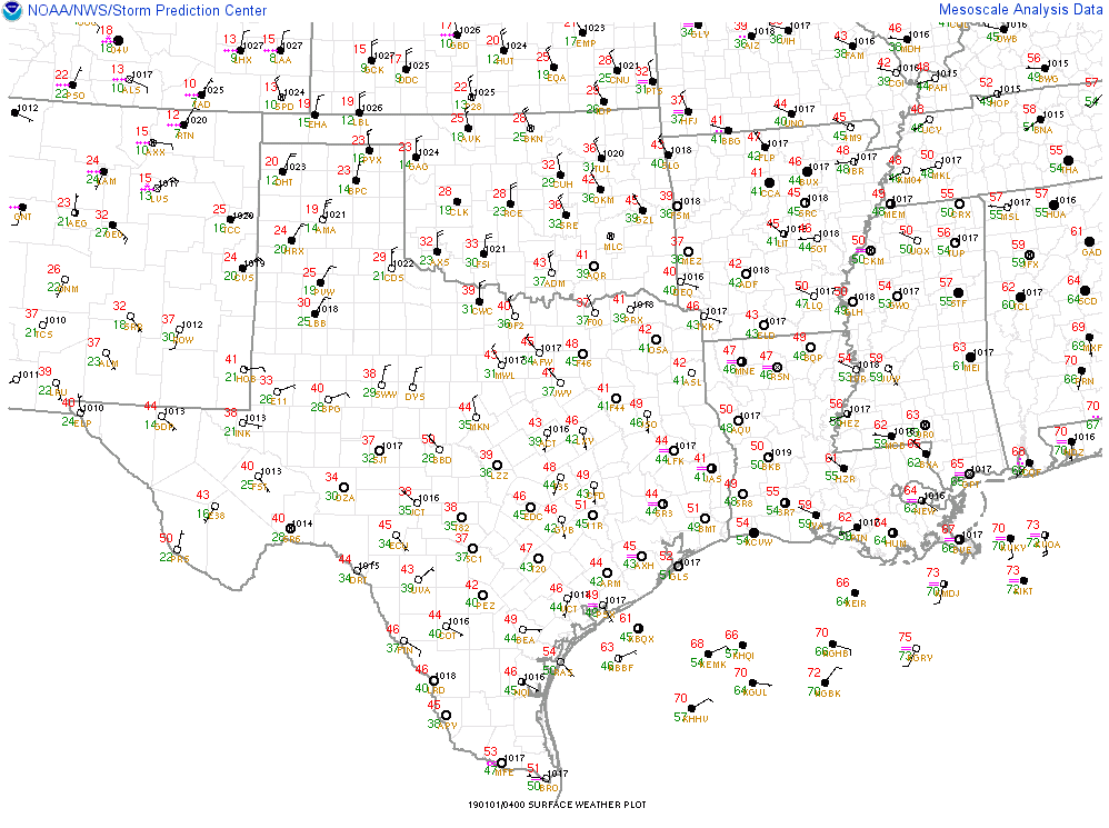
FXUS64 KFWD 010313
AFDFWD
Area Forecast Discussion
National Weather Service Fort Worth TX
913 PM CST Mon Dec 31 2018
.UPDATE...
No major changes planned to the overnight forecast. However, will
be lowering the New Year`s Day temperatures slightly, based on
latest guidance and the strength of the post-frontal cold
advection now occurring in OK. With low clouds and a biting north
wind, much of the northwest half of the forecast area will remain
entrenched in the 30s all day tomorrow.
No changes planned to the current Winter Storm Watch
configuration. New NAM guidance doesn`t immediately suggest a need
to expand the watch, but does support the pre-advertised threat of
appreciable freezing rain in our west central counties Wednesday.
The greater DFW Metroplex still appears to lie on the interface
between quasi-freezing temperatures and appreciable rainfall
Wednesday. Ice on elevated surfaces, and perhaps some bridge
decks, remains a distinct possibility Wednesday morning,
particularly in Denton, Tarrant and Johnson Counties.
Considerable uncertainty remains, however, as to how the near-
surface temperature profiles Wednesday will be modulated by: 1)
cold air advection, 2) diabatic processes associated with the
evolving precipitation, and 3) surface soil temperatures. We
should have more clarity on these factors, as well as the
evolution of the precipitation shield itself, by tomorrow.
Bradshaw
0 likes
 The posts in this forum are NOT official forecast and should not be used as such. They are just the opinion of the poster and may or may not be backed by sound meteorological data. They are NOT endorsed by any professional institution or