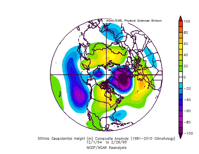
bubba hotep wrote:orangeblood wrote:There is no way we can put any credibility in any of these models, at this point, beyond day 3-4...just look at the asinine MJO forecast differences b/w the GFS and Euro past day 4. Throw out most any forecast until they can come to better agreement!!
http://www.cpc.ncep.noaa.gov/products/precip/CWlink/MJO/diagram_40days_forecast_GEFS_member.gif
http://www.cpc.ncep.noaa.gov/products/precip/CWlink/MJO/CLIVAR/ECMF_phase_51m_full.gif
I've noticed that here recently and the RMM plots have been struggling with the incoherent Pacific. Also, the GEFS is biased towards amplification as convection moves in WPAC. If you use a filtered MJO (removing ERW, KW, etc) is a slow moving low amp MJO look that probably spends all of February in 8/1/2. That points towards the MJO being in favorable phases for cold but also giving away some influence to the +ENSO background state.
That would be ideal, 8-1-2 is the Holy Grail of cold in Feb!!!
Also, safe to say Western Canada is about to tank this weekend....looking at 25-30 C below normal!

 The posts in this forum are NOT official forecast and should not be used as such. They are just the opinion of the poster and may or may not be backed by sound meteorological data. They are NOT endorsed by any professional institution or


