


Ntxw wrote:Lagreeneyes03 wrote:rwfromkansas wrote:Holy cow, check out the new outlook just released. EVEN BIGGER high risk and slight nudged now over Dallas county instead of just Tarrant.
What are the chances of that moving even further east? It kind of seems like DFW has some kind of atmospherical conditon that's preventing super severe storms. they all seem to be the the West/reforming East and North/South of us.
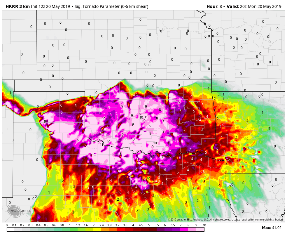
For DFW it is the same game as before. IF lone cells pop then they will quickly be severe. As for the main event timing is storms fire over NW Texas and line up as they reach DFW overnight or early morning. It has been timing that so far has prevented bigger things in the metroplex.
In the past the ideal timing is when cells fire over the western counties or overhead before congealing. Storms are often at their most powerful when they initiate and don't have to compete with other storms.
We can't keep our guard down here in DFW today and tonight.


