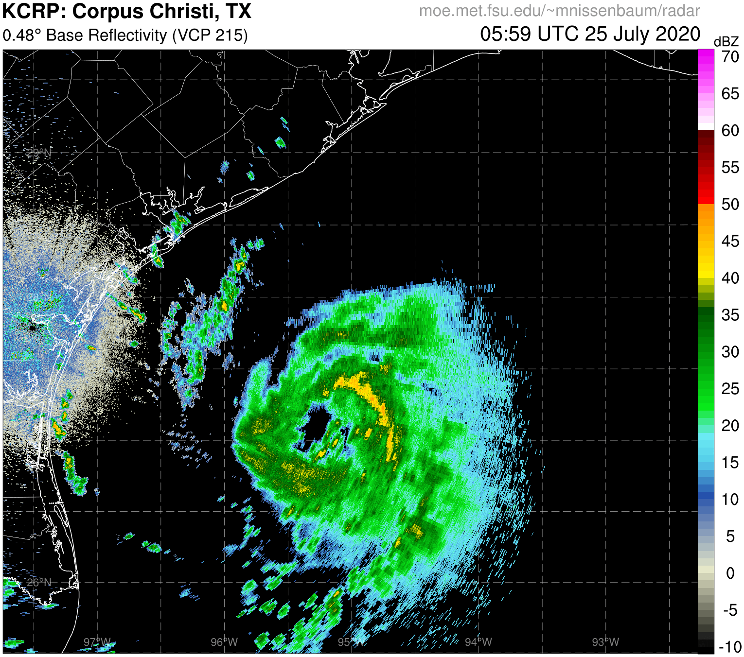
TheProfessor wrote:I must say, if this thing ever reaches its full potential and gets some of the good venting that Hanna got with more time over water, it's going to be a monster.
Yeah and what would be even more dangerous is if the high pressure ridge actually holds and it keeps together somewhat and managed to get into the gulf as a cat1/TS. Though looking at the HWRF, you can REALLY see the dry air is gonna get sucked right up into the storm.
Even more so it looks as if the gulf has quite a bit of dry air in it too which would hurt it even more. It seems the best place for rapid intensification would be right in that little area between Jacksonville and the Outer Banks. Water is real hot there and the air is kind of moist. If it ever reaches full potential, it wouldn't be in the gulf, it would be off the coast of SC. Even the GFS-Para has this storm rapidly intensifying from TS to Cat 2-3 in the span of 48 hours.
After writing this the GFS-Para just got it's 00z run in and it just pulled a real interesting solution. Now we have the potential of it coming in with more time spent over the open atlantic and a slow approach to land. I know this probabaly is getting close to belonging to the 92L model thread but I am mainly just using the models to illustrate my points.


