ATL: LAURA - Models
Moderator: S2k Moderators
-
toad strangler

- S2K Supporter

- Posts: 4546
- Joined: Sun Jul 28, 2013 3:09 pm
- Location: Earth
- Contact:
Re: ATL: INVEST 98L - Models
12z Euro slightly more defined wave than at 00z @72hrs. That's not saying much though.
0 likes
My Weather Station
https://www.wunderground.com/dashboard/pws/KFLPORTS603
https://www.wunderground.com/dashboard/pws/KFLPORTS603
-
Blown Away

- S2K Supporter
- Posts: 10253
- Joined: Wed May 26, 2004 6:17 am
Re: ATL: INVEST 98L - Models
12z Euro 72hrs... The HP looks slightly weaker than the 12z run a few days ago when 98L blew up and went E of FL...
0 likes
Hurricane Eye Experience: David 79, Irene 99, Frances 04, Jeanne 04, Wilma 05… Hurricane Brush Experience: Andrew 92, Erin 95, Floyd 99, Matthew 16, Irma 17, Ian 22, Nicole 22…
-
eastcoastFL

- Category 5

- Posts: 3996
- Age: 44
- Joined: Thu Apr 12, 2007 12:29 pm
- Location: Palm City, FL
Re: ATL: INVEST 98L - Models

0 likes
Personal Forecast Disclaimer:
The posts in this forum are NOT official forecast and should not be used as such. They are just the opinion of the poster and may or may not be backed by sound meteorological data. They are NOT endorsed by any professional institution or storm2k.org. For official information, please refer to the NHC and NWS products.
The posts in this forum are NOT official forecast and should not be used as such. They are just the opinion of the poster and may or may not be backed by sound meteorological data. They are NOT endorsed by any professional institution or storm2k.org. For official information, please refer to the NHC and NWS products.
-
toad strangler
- S2K Supporter
- Posts: 4546
- Joined: Sun Jul 28, 2013 3:09 pm
- Location: Earth
- Contact:
Re: ATL: INVEST 98L - Models
12z EURO sends 98L N of the big islands but no development once again through 96hrs
Last edited by toad strangler on Wed Aug 19, 2020 1:16 pm, edited 1 time in total.
0 likes
My Weather Station
https://www.wunderground.com/dashboard/pws/KFLPORTS603
https://www.wunderground.com/dashboard/pws/KFLPORTS603

Re: ATL: INVEST 98L - Models
If this system ends up forming in the next day or two, it would be a pretty epic bust for King Eurro
3 likes
-
eastcoastFL
- Category 5
- Posts: 3996
- Age: 44
- Joined: Thu Apr 12, 2007 12:29 pm
- Location: Palm City, FL
Re: ATL: INVEST 98L - Models
Euro bahama blob
0 likes
Personal Forecast Disclaimer:
The posts in this forum are NOT official forecast and should not be used as such. They are just the opinion of the poster and may or may not be backed by sound meteorological data. They are NOT endorsed by any professional institution or storm2k.org. For official information, please refer to the NHC and NWS products.
The posts in this forum are NOT official forecast and should not be used as such. They are just the opinion of the poster and may or may not be backed by sound meteorological data. They are NOT endorsed by any professional institution or storm2k.org. For official information, please refer to the NHC and NWS products.
-
Shell Mound
- Category 5
- Posts: 2432
- Age: 33
- Joined: Thu Sep 07, 2017 3:39 pm
- Location: St. Petersburg, FL → Scandinavia
Re: ATL: INVEST 98L - Models
SouthFLTropics wrote:Interesting look from the 12z GEFS Ensembles...
https://i.imgur.com/sG0Bd1o.gif
Note that the strongest members indicate a turn to the NW, N, and eventually NE beginning near the Turks and Caicos Islands. Additionally, ridging on both the 12Z GFS and ECMWF runs is notably weaker than previously indicated. If 98L is sufficiently intense in the short term, it could not only miss the Leeward Islands and Puerto Rico to the north, but also curve OTS between the U.S. East Coast and Bermuda, after bypassing the Turks and Caicos Islands. I have consistently maintained that 98L will likely become an intense hurricane in about six or seven days, and that it will either a) head WNW into South FL or b) curve OTS. In each case the Turks and Caicos Islands will serve as a key benchmark.
0 likes
CVW / MiamiensisWx / Shell Mound
The posts in this forum are NOT official forecasts and should not be used as such. They are just the opinion of the poster and may or may not be backed by sound meteorological data. They are NOT endorsed by any professional institution or STORM2K. For official information, please refer to products from the NHC and NWS.
-
WeatherEmperor
- S2K Supporter
- Posts: 4806
- Age: 41
- Joined: Thu Sep 04, 2003 2:54 pm
- Location: South Florida
Re: ATL: INVEST 98L - Models
Why is the Euro showing nothing if it takes 98L north of the islands avoiding all land interaction? Does it show shear/dry air issues???
Sent from my iPhone using Tapatalk
Sent from my iPhone using Tapatalk
2 likes
-
SouthFLTropics

- Category 5
- Posts: 4258
- Age: 50
- Joined: Thu Aug 14, 2003 8:04 am
- Location: Port St. Lucie, Florida
Re: ATL: INVEST 98L - Models
Call me confused but I just don't see why the Euro wouldn't spin this up if it avoids the big islands. What does it see that we aren't seeing. Maybe dry air. I don't know.
2 likes
Fourth Generation Florida Native
Personal Storm History: David 79, Andrew 92, Erin 95, Floyd 99, Irene 99, Frances 04, Jeanne 04, Wilma 05, Matthew 16, Irma 17, Ian 22, Nicole 22, Milton 24
Personal Storm History: David 79, Andrew 92, Erin 95, Floyd 99, Irene 99, Frances 04, Jeanne 04, Wilma 05, Matthew 16, Irma 17, Ian 22, Nicole 22, Milton 24
-
storminabox
- Category 1

- Posts: 263
- Joined: Sun Jul 09, 2017 10:50 pm
Re: ATL: INVEST 98L - Models
caneseddy wrote:HMON finishes its run as a major hurricane about to landfall in Miami.
https://www.tropicaltidbits.com/analysis/models/hmon/2020081912/hmon_ref_98L_42.png
That would be bad for me considering that I’m studying at the University of Miami. Only 5 days out too if this verifies.
0 likes
-
gatorcane

- S2K Supporter
- Posts: 23708
- Age: 48
- Joined: Sun Mar 13, 2005 3:54 pm
- Location: Boca Raton, FL
Re: ATL: INVEST 98L - Models
The 12Z HWRF is keeping it a hurricane over the high mountainous terrain of Eastern Cuba. That is when you know the model has problems.
2 likes
-
SFLcane

- S2K Supporter
- Posts: 10281
- Age: 48
- Joined: Sat Jun 05, 2010 1:44 pm
- Location: Lake Worth Florida
Re: ATL: INVEST 98L - Models
WeatherEmperor wrote:Why is the Euro showing nothing if it takes 98L north of the islands avoiding all land interaction? Does it show shear/dry air issues???
Sent from my iPhone using Tapatalk
Beyond me. But it does it keep it north of the islands now.
0 likes
-
DestinHurricane

- Category 4

- Posts: 935
- Joined: Tue May 01, 2018 8:05 am
- Location: New York, NY
Re: ATL: INVEST 98L - Models
IMHO Euro is out smoking a joint. I'll take the NHC forecast over any model.
4 likes
Michael 2018
Re: ATL: INVEST 98L - Models
WeatherEmperor wrote:Why is the Euro showing nothing if it takes 98L north of the islands avoiding all land interaction? Does it show shear/dry air issues???
Sent from my iPhone using Tapatalk
Very odd. The no development in this run really doesnt have much to do with the islands. In fact, the track looks very similar to CMC, ICON, HMON ... but no development at all
0 likes
-
gatorcane
- S2K Supporter
- Posts: 23708
- Age: 48
- Joined: Sun Mar 13, 2005 3:54 pm
- Location: Boca Raton, FL
Re: ATL: INVEST 98L - Models
SouthFLTropics wrote:Call me confused but I just don't see why the Euro wouldn't spin this up if it avoids the big islands. What does it see that we aren't seeing. Maybe dry air. I don't know.
My guess is too much dry and stable air around it. Isaias had the same problem in the Bahamas if you recall. I am just looking at the GFS graphics to take that guess since we don’t have access to the same Euro charts.
Last edited by gatorcane on Wed Aug 19, 2020 1:28 pm, edited 1 time in total.
0 likes

Re: ATL: INVEST 98L - Models
I think it's highly unlikely this remains an open wave it it misses the islands to the north...
4 likes
Igor 2010, Sandy 2012, Fay 2014, Gonzalo 2014, Joaquin 2015, Nicole 2016, Humberto 2019, Imelda 2025
I am only a tropical weather enthusiast. My predictions are not official and may or may not be backed by sound meteorological data. For official information, please refer to the NHC and NWS products.
I am only a tropical weather enthusiast. My predictions are not official and may or may not be backed by sound meteorological data. For official information, please refer to the NHC and NWS products.
-
ConvergenceZone
.gif)
- Category 5
- Posts: 5241
- Joined: Fri Jul 29, 2005 1:40 am
- Location: Northern California
Re: ATL: INVEST 98L - Models
gatorcane wrote:The 12Z HWRF is keeping it a hurricane over the high mountainous terrain of Eastern Cuba. That is when you know the model has problems.
And then you have the Euro that’s on crack that doesn’t show ANY land interaction and acts like it’s July and yet doesn’t do anything with it. Some dry air, sure, but not enough to impede development. If we get a depression today and a storm tomorrow, Euro will already be in EPIC failure mode
3 likes
Re: ATL: INVEST 98L - Models
SFLcane wrote:WeatherEmperor wrote:Why is the Euro showing nothing if it takes 98L north of the islands avoiding all land interaction? Does it show shear/dry air issues???
Sent from my iPhone using Tapatalk
Beyond me. But it does it keep it north of the islands now.
And I think that should be one of the the key takeaway of these runs. The majority of modeling, including the Euro now have this going north of the islands. Excepting the GFS, HWRF and i believe UKMET
The posts in this forum are NOT official forecasts and should not be used as such. They are just the opinion of the poster and may or may not be backed by sound meteorological data. They are NOT endorsed by any professional institution or STORM2K. For official information, please refer to products from the NHC and NWS.
0 likes
-
SFLcane
- S2K Supporter
- Posts: 10281
- Age: 48
- Joined: Sat Jun 05, 2010 1:44 pm
- Location: Lake Worth Florida
Re: ATL: INVEST 98L - Models
gatorcane wrote:SouthFLTropics wrote:Call me confused but I just don't see why the Euro wouldn't spin this up if it avoids the big islands. What does it see that we aren't seeing. Maybe dry air. I don't know.
My guess is too much dry and stable air around it. Isaias had the same problem in the Bahamas if you recall. I am just looking at the GFS graphics to take that guess since we don’t have access to the same Euro charts.
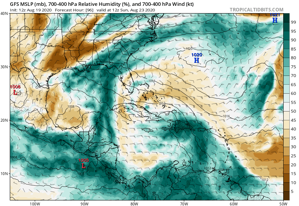
https://i.postimg.cc/1XPKpn62/gfs-mid-RH-watl-17.png
RH not a problem on the Euro in the Bahamas.
0 likes
Who is online
Users browsing this forum: No registered users and 55 guests