


northjaxpro wrote:
Ahh, I was just about to post about this myself. Actually, I am.
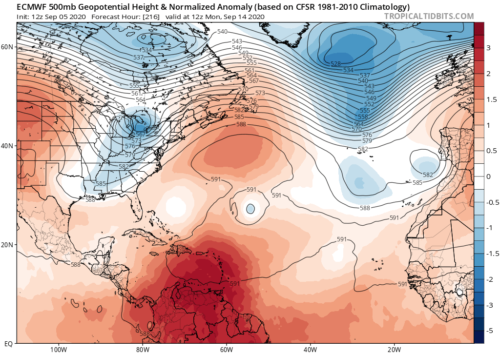
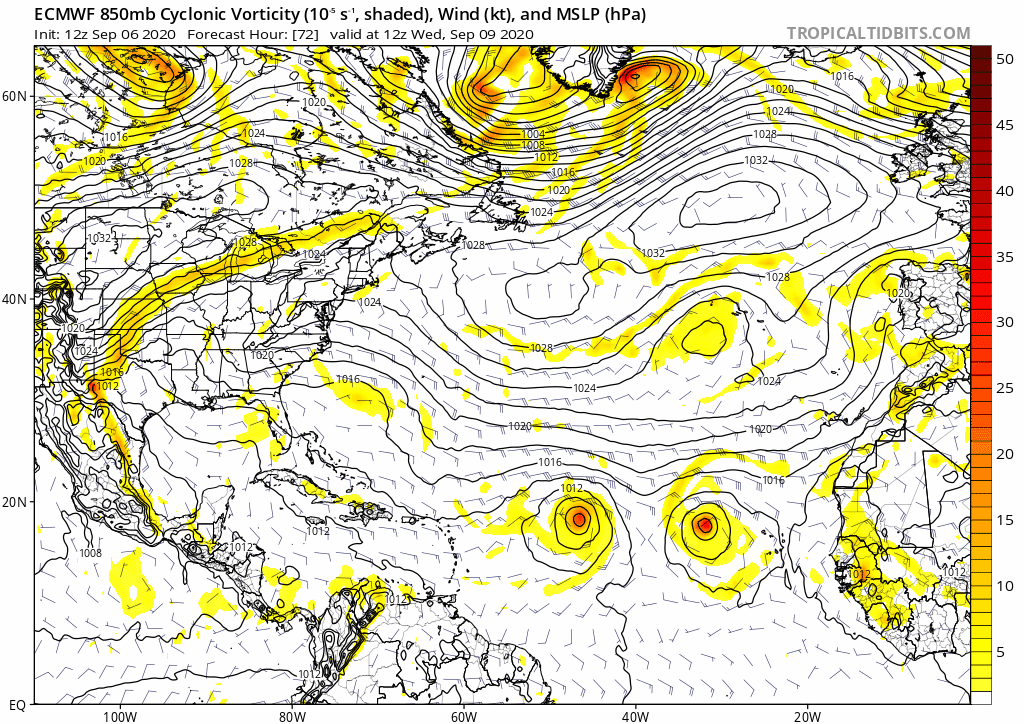
Just a reminder of the latest Teleconnection forecast. A very strong +NAO looks to continue right on through Sept19 and possibly longer. The EPS Ensembles look potentially very worrisome down the road. It corresponds to the teleconnections forecast if it verifies...
https://psl.noaa.gov/forecasts/reforecast2/teleconn/images/4indices.png
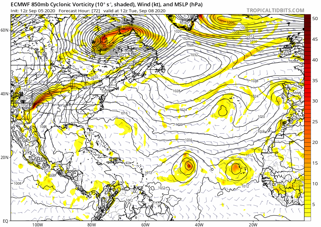
I agree completely, I put a few more posts on twitter. Surface reflections are suspect. The 500mb trend allows a chance for a handoff to the W ATL ridge. Three days ago, I would have have given it almost zero chance...


