wxman57 wrote:Don't worry, Floridians, my Gulf of Mexico hurricane barrier is now in place. 00Z and 06Z GFS runs have confirmed this.

Moderator: S2k Moderators


wxman57 wrote:Don't worry, Floridians, my Gulf of Mexico hurricane barrier is now in place. 00Z and 06Z GFS runs have confirmed this.
chris_fit wrote:12 GFS ENS seems much more active than previous runs - time frame keeps coming in.
TH
https://i.imgur.com/0m1EqwT.png
CyclonicFury wrote:Climo would suggest the modeled MDR TC may not develop right away, but potentially wait until near the Lesser Antilles, which makes it something to watch if it does not develop quickly.


SFLcane wrote:chris_fit wrote:12 GFS ENS seems much more active than previous runs - time frame keeps coming in.
TH
https://i.imgur.com/0m1EqwT.png
Hey Chris,
Remember the new GEFS has more members so it gives the impression its active. Those look like a few weak members if anything its trending away from development. Ensembles also have convective bias. Notice there aren't too many strong ones except wayyyy out.
cheezyWXguy wrote:SFLcane wrote:chris_fit wrote:12 GFS ENS seems much more active than previous runs - time frame keeps coming in.
TH
https://i.imgur.com/0m1EqwT.png
Hey Chris,
Remember the new GEFS has more members so it gives the impression its active. Those look like a few weak members if anything its trending away from development. Ensembles also have convective bias. Notice there aren't too many strong ones except wayyyy out.
True, but one thing I notice since the upgrade at 12z yesterday is an increase in members in the central/east Caribbean on the 12z, as opposed to the previous 3 runs. They’re not very strong, except for 1 of them, but the timing lines up with what the icon depicts in the run you posted


DestinHurricane wrote:GFS did not drop it, it just pushes it into CA and develops on EPAC side. ICON is also showing this developing in Caribbean, so not a GFS phantom.

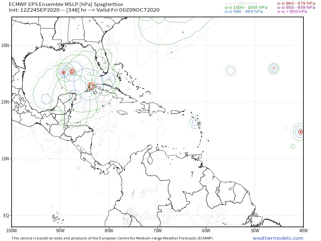
LarryWx wrote:Nothing to write home about with only ~20% of 51 members being active, but this 12Z EPS run is a little bit more active than the previous run:
https://i.imgur.com/YZkkRLu.png

SFLcane wrote:wxman57 wrote:Don't worry, Floridians, my Gulf of Mexico hurricane barrier is now in place. 00Z and 06Z GFS runs have confirmed this.
https://i.imgur.com/OcrwLm8.jpg

aspen wrote:Here we go again. The GFS won’t budge from showing at least one EPac hurricane developing during its run, including one from the disturbance we’ve been monitoring for WCar development. We’re far more likely to get a Hurricane Wilma 2.0 than 2-4 TCs in the EPac within the next 10 days. Remember how badly all the models busted with the late June “EPac outbreak” that only managed to cough out barely-TS Boris and a TD.
aspen wrote:Here we go again. The GFS won’t budge from showing at least one EPac hurricane developing during its run, including one from the disturbance we’ve been monitoring for WCar development. We’re far more likely to get a Hurricane Wilma 2.0 than 2-4 TCs in the EPac within the next 10 days. Remember how badly all the models busted with the late June “EPac outbreak” that only managed to cough out barely-TS Boris and a TD.
CourierPR wrote:Shell Mound wrote:Note that Ida (2009) was extratropical at landfall. If one excludes Ida and counts the remaining eleven cases, then eight (73%) of the remainder struck the FL peninsula from Tampa Bay southward. So if a hurricane were to pass through the Yucatán Channel during the months of October and/or November, it would be most likely to impact Central and/or South Florida (peninsular) as a hurricane. Based on historical data, Cat-3 status (105 knots) seems to be the uppermost boundary for these cases at landfall, given the influence of strong vertical wind shear related to incoming autumnal troughs, along with relatively cooler SSTs in the Gulf during October/November vs. August/September. So the fact that Central/South Florida has not been impacted by a major hurricane yet is potentially very good news, since most of the region’s Cat-4+ hits have been related to CV-type, MDR-related activity during the peak months of August and September. (The exception, Cat-4 King ‘50, originated in the W Caribbean in October 1950, but actually headed NNW into Miami: an extremely unusual trajectory and location for the month of October.) So if we get a W-Caribbean major hurricane that tracks through the Channel and impacts Central/South FL, it would almost certainly be no stronger than a Cat-3 at landfall, and would more likely be weakening and/or steady-state than a MH impacting the same region in August/September. Again, very good news. Another Wilma would not be pleasant, but certainly much better than a Cat-4+.
And you have a degree in meteorology? What you present as "very good news" is your version. I lived through Wilma and spent over a week without electricity here in Southeast Florida. Also, many homes had roofs covered by blue tarps for many months.
Users browsing this forum: No registered users and 263 guests


