plasticup wrote:Do any of the models show a significant system? I’ve only seen duds.
HMON is farthest E into SFL as TS/Cat1... The ones W of FL peninsula a TD at best... As of now W into EGOM is low level swirl, except ICON...
Moderator: S2k Moderators

plasticup wrote:Do any of the models show a significant system? I’ve only seen duds.

Jr0d wrote:Iceresistance wrote:Is there radar active at Southern Cuba? It would be very useful to ID the center of 95L.
It's been posted on the discussion thread...not the best link here:
http://www.weather.gov.ky/radar_images/ ... km_ppi.gif
Until recon data is fed into the models, I dont think they will be much help. Nowcasting until Sunday will be the best forecast in my amatuer opinion.


sma10 wrote:I think Euro is saying "Louisiana, 2020 ain't done with yet"


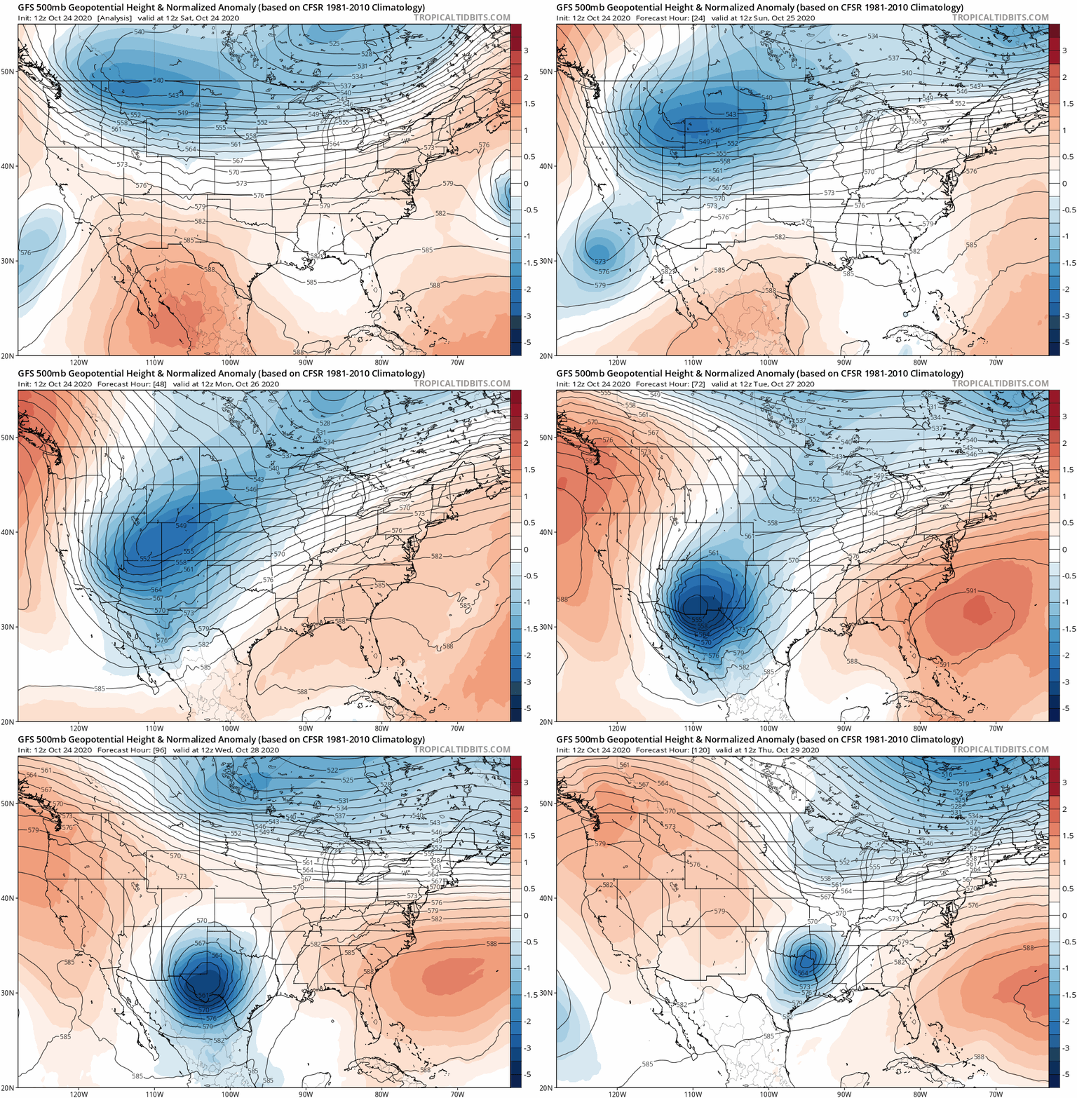
cp79 wrote:Wow what a west shift. There is seriously a fan or something blowing systems away from Florida this year and redirecting them to Louisiana.

SFLcane wrote:cp79 wrote:Wow what a west shift. There is seriously a fan or something blowing systems away from Florida this year and redirecting them to Louisiana.
Yep, that fan blowing all year long.


Users browsing this forum: No registered users and 14 guests