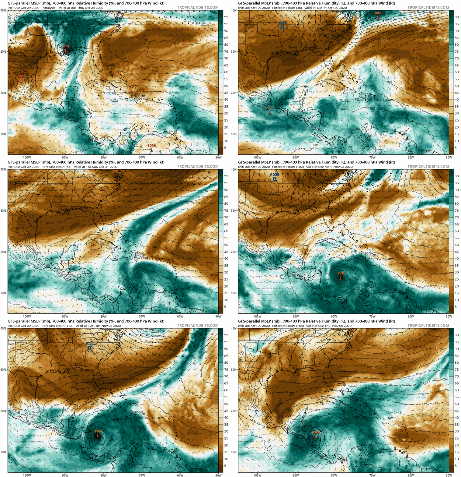
Interestingly, the minority of members that do
not show significant interaction with Central America indicate steady
intensification as the potential system tracks north-northeastward toward westernmost Cuba, the Keys, and possibly South Florida. Perhaps early November will behave more like early to mid October in regard to the track of this system, just as the peak of this season has clearly been delayed or “backloaded.” If this system somehow stalls offshore and does not do a “Mitch 2.0,” then I am concerned that this could be yet another powerful hurricane over the western Caribbean, à la the 1924/‘32 Cuba hurricanes, Michelle ‘01, and/or Paloma ‘08, at least in terms of potential intensity. Probably the most disconcerting possible outcome would be a drifting, stalling, or even looping motion over the western Caribbean, in the vicinity of the Gulf of Honduras, remaining just offshore/north of Central America, while undergoing significant intensification and eventually tracking NNE toward Pinar del Río, Cuba, and the southeastern Gulf of Mexico, on a track that would clearly and unambiguously threaten the southernmost Florida peninsula and the Keys. Maybe a combination of ‘24’s track and ‘32’s intensity, with a bit of 1846 Havana/Key West thrown in for good measure. Maybe 2020 will save the worst for last and throw a robust Cat-5, Michael-style but offset to the southeast, into the I-4 corridor, from Tampa Bay to Greater Orlando and Cape Canaveral.


