Area of disturbed weather entering the Caribbean (Is Invest 96L)

This is the general tropical discussion area. Anyone can take their shot at predicting a storms path.

Moderator: S2k Moderators

Forum rules

The posts in this forum are NOT official forecasts and should not be used as such. They are just the opinion of the poster and may or may not be backed by sound meteorological data. They are NOT endorsed by any professional institution or STORM2K. For official information, please refer to products from the National Hurricane Center and National Weather Service.

Help Support Storm2K
Message
Author
AutoPenalti
Category 5
Category 5
Posts: 4030
Age: 29
Joined: Mon Aug 17, 2015 4:16 pm
Location: Ft. Lauderdale, Florida

Re: Area of disturbed weather entering the Caribbean

#441 Postby AutoPenalti » Thu Oct 29, 2020 11:31 am

Image

Slight north shifts would change a lot in the medium term.
4 likes   
The posts in this forum are NOT official forecasts and should not be used as such. They are just the opinion of the poster and may or may not be backed by sound meteorological data. They are NOT endorsed by any professional institution or STORM2K. For official information, please refer to products from the NHC and NWS.


Model Runs Cheat Sheet:
GFS (5:30 AM/PM, 11:30 AM/PM)
HWRF, GFDL, UKMET, NAVGEM (6:30-8:00 AM/PM, 12:30-2:00 AM/PM)
ECMWF (1:45 AM/PM)

TCVN
is a weighted averaged

User avatar
Ryxn
Category 1
Category 1
Posts: 314
Age: 25
Joined: Fri Sep 08, 2017 4:50 pm
Location: Toronto, Canada

Re: Area of disturbed weather entering the Caribbean

#442 Postby Ryxn » Thu Oct 29, 2020 11:33 am

cp79 wrote:This could actually end up being a Pacific storm by this time next week.


Making it "technically" the first Pacific Greek named storm thanks to the Atlantic's activity...Marie, Norbert, Odalys...Eta? Lol
0 likes   

User avatar
SFLcane
S2K Supporter
S2K Supporter
Posts: 10163
Age: 47
Joined: Sat Jun 05, 2010 1:44 pm
Location: Lake Worth Florida

Re: Area of disturbed weather entering the Caribbean

#443 Postby SFLcane » Thu Oct 29, 2020 11:34 am

0 likes   

User avatar
aspen
Category 5
Category 5
Posts: 8818
Joined: Sat Oct 12, 2019 7:10 pm
Location: Connecticut, USA

Re: Area of disturbed weather entering the Caribbean

#444 Postby aspen » Thu Oct 29, 2020 11:34 am

12z CMC: forming TD in 48 hours, landfall around three Honduras-Nicaragua border in 126 hours as a hurricane.
0 likes   
Irene '11 Sandy '12 Hermine '16 5/15/2018 Derecho Fay '20 Isaias '20 Elsa '21 Henri '21 Ida '21

I am only a meteorology enthusiast who knows a decent amount about tropical cyclones. Look to the professional mets, the NHC, or your local weather office for the best information.

User avatar
northjaxpro
S2K Supporter
S2K Supporter
Posts: 8900
Joined: Mon Sep 27, 2010 11:21 am
Location: Jacksonville, FL

Re: Area of disturbed weather entering the Caribbean

#445 Postby northjaxpro » Thu Oct 29, 2020 11:34 am

GeneratorPower wrote:
northjaxpro wrote:
GeneratorPower wrote:
La Niña will have a significant effect on how this plays out. This isn’t a normal November.


My goodness, you ain't kidding. La Nina is already flexing her muscle. We are having the warmest October on record here.


I like to look at patterns as a guide to what will happen. It's basically persistence forecasting. Why did we have four named storms hit Louisiana/North Gulf Coast this year? Pattern locked in. Why did 4 hurricanes in 45 days strike FL in 2004? Pattern locked in. It *can* change but when you see stuff over and over, you kinda get the feeling it *won't* change. Why does everyone say "Florida Forcefield". Well, when a pattern is locked in you just can't overcome that pattern and it lasts for MONTHS.

I used to live in the Tennessee Valley and sometime in 2007-ish we had an unbelievable heat ridge that spiked temps to 104F+ every single day for weeks. It was horrible. The pattern would. not. break. down. Until it did.

The question is, does the pattern of Northern Gulf Coast hits continue, or is pattern broken?


I certainly agree with you about persistent patterns. Heck, we have had the +NAO pattern locked in over Florida during the winter months for the past 10 years and counting, one of the most fascinating and longest sustaining weather anomalies I have ever witnessed in my years in this business. I am still doing research about it. So, yeah, I know about persistent patterns around here.
2 likes   
NEVER, EVER SAY NEVER in the tropics and weather in general, and most importantly, with life itself!!

________________________________________________________________________________________

Fay 2008 Beryl 2012 Debby 2012 Colin 2016 Hermine 2016 Julia 2016 Matthew 2016 Irma 2017 Dorian 2019

User avatar
gatorcane
S2K Supporter
S2K Supporter
Posts: 23691
Age: 47
Joined: Sun Mar 13, 2005 3:54 pm
Location: Boca Raton, FL

Re: Area of disturbed weather entering the Caribbean

#446 Postby gatorcane » Thu Oct 29, 2020 11:36 am

All of the deterministic models are in surprisingly good agreement on the track and take this into Honduras and/or Nicaragua.

Just because we had Zeta defy climatology means this one will too.
0 likes   

User avatar
NDG
S2K Supporter
S2K Supporter
Posts: 15446
Joined: Sun Jul 09, 2006 10:14 pm
Location: Orlando, FL

Re: Area of disturbed weather entering the Caribbean

#447 Postby NDG » Thu Oct 29, 2020 11:43 am

I think that mid level ridging will not build that fast north of future 96L and could not go across C.A. thus meander around the central Caribbean longer.
IMO.
2 likes   

User avatar
toad strangler
S2K Supporter
S2K Supporter
Posts: 4543
Joined: Sun Jul 28, 2013 3:09 pm
Location: Earth
Contact:

Re: Area of disturbed weather entering the Caribbean

#448 Postby toad strangler » Thu Oct 29, 2020 11:48 am

Camping in C FL through Sunday. Glorious wx at hand. Not trusting a CA buried outcome with this next system. Regardless of multiple models showing this.
3 likes   

User avatar
SFLcane
S2K Supporter
S2K Supporter
Posts: 10163
Age: 47
Joined: Sat Jun 05, 2010 1:44 pm
Location: Lake Worth Florida

Re: Area of disturbed weather entering the Caribbean

#449 Postby SFLcane » Thu Oct 29, 2020 11:49 am

toad strangler wrote:Camping in C FL through Sunday. Glorious wx at hand. Not trusting a CA buried outcome with this next system. Regardless of multiple models showing this.


+1
0 likes   

Shell Mound
Category 5
Category 5
Posts: 2434
Age: 32
Joined: Thu Sep 07, 2017 3:39 pm
Location: St. Petersburg, FL → Scandinavia

Re: Area of disturbed weather entering the Caribbean

#450 Postby Shell Mound » Thu Oct 29, 2020 11:50 am

2 likes   
CVW / MiamiensisWx / Shell Mound
The posts in this forum are NOT official forecasts and should not be used as such. They are just the opinion of the poster and may or may not be backed by sound meteorological data. They are NOT endorsed by any professional institution or STORM2K. For official information, please refer to products from the NHC and NWS.

User avatar
aspen
Category 5
Category 5
Posts: 8818
Joined: Sat Oct 12, 2019 7:10 pm
Location: Connecticut, USA

Re: Area of disturbed weather entering the Caribbean

#451 Postby aspen » Thu Oct 29, 2020 11:52 am

96L/Eta is likely the last chance 2020 will have to produce a Cat 5. The possibility of ECar genesis and several days tracking across the high SSTs and OHC of the Caribbean is concerning, even excluding a likely CA landfall and high flooding potential.
5 likes   
Irene '11 Sandy '12 Hermine '16 5/15/2018 Derecho Fay '20 Isaias '20 Elsa '21 Henri '21 Ida '21

I am only a meteorology enthusiast who knows a decent amount about tropical cyclones. Look to the professional mets, the NHC, or your local weather office for the best information.

User avatar
Ryxn
Category 1
Category 1
Posts: 314
Age: 25
Joined: Fri Sep 08, 2017 4:50 pm
Location: Toronto, Canada

Re: Area of disturbed weather entering the Caribbean

#452 Postby Ryxn » Thu Oct 29, 2020 11:57 am

...
Last edited by Ryxn on Thu Oct 29, 2020 11:59 am, edited 1 time in total.
0 likes   

User avatar
Ryxn
Category 1
Category 1
Posts: 314
Age: 25
Joined: Fri Sep 08, 2017 4:50 pm
Location: Toronto, Canada

Re: Area of disturbed weather entering the Caribbean

#453 Postby Ryxn » Thu Oct 29, 2020 11:59 am

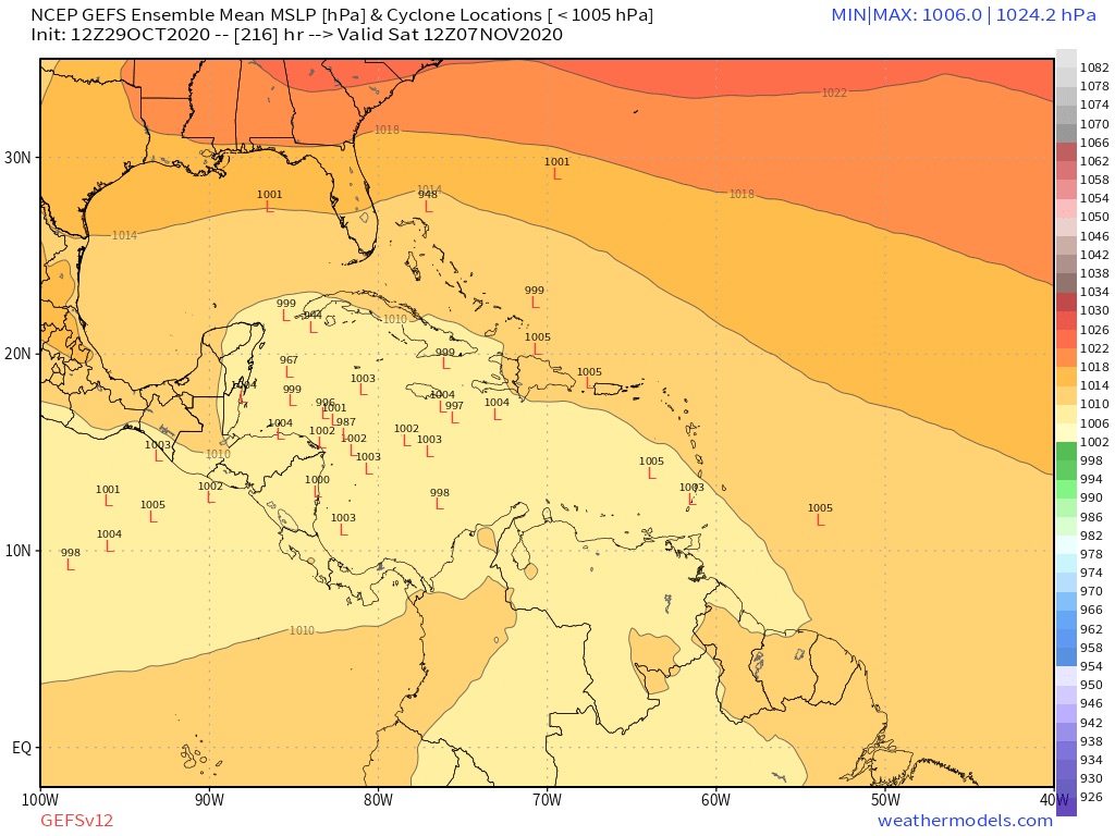
aspen wrote:96L/Eta is likely the last chance 2020 will have to produce a Cat 5. The possibility of ECar genesis and several days tracking across the high SSTs and OHC of the Caribbean is concerning, even excluding a likely CA landfall and high flooding potential.


It would also be a historic Category 5 if it does attain that status. First November CAT 5 in the satellite era only second in history after the 1932 hurricane 88 years ago. Lenny of 1999 came SO close to Category 5 in mid November which would have made it the latest CAT 5 but it ultimately was 5 MPH short
0 likes   

supercane4867
Category 5
Category 5
Posts: 4966
Joined: Wed Nov 14, 2012 10:43 am

Re: Area of disturbed weather entering the Caribbean

#454 Postby supercane4867 » Thu Oct 29, 2020 12:00 pm

Looking at recent model runs, it seems that Mitch 98 and Beta 05 are potential analogs for upcoming Eta.
0 likes   

Loveweather12
Tropical Storm
Tropical Storm
Posts: 136
Joined: Thu Aug 20, 2020 2:37 pm

Re: Area of disturbed weather entering the Caribbean

#455 Postby Loveweather12 » Thu Oct 29, 2020 12:01 pm

gatorcane wrote:All of the deterministic models are in surprisingly good agreement on the track and take this into Honduras and/or Nicaragua.

Just because we had Zeta defy climatology means this one will too.


Just because the model is saying it’s going to CA doesn’t mean it will. Things change. We still need to watch & plus, do we have a low to track yet???
0 likes   

User avatar
ElectricStorm
Category 5
Category 5
Posts: 5044
Age: 24
Joined: Tue Aug 13, 2019 11:23 pm
Location: Skiatook, OK / Norman, OK

Re: Area of disturbed weather entering the Caribbean

#456 Postby ElectricStorm » Thu Oct 29, 2020 12:01 pm

supercane4867 wrote:Looking at recent model runs, it seems that Mitch 98 and Beta 05 are potential analogs for upcoming Eta.

Well it's certainly not a good situation when it's compared to those storms, especially Mitch
0 likes   
B.S Meteorology, University of Oklahoma '25

Please refer to the NHC, NWS, or SPC for official information.

User avatar
Jr0d
S2K Supporter
S2K Supporter
Posts: 1409
Joined: Tue Aug 27, 2019 10:52 am
Location: Cayo Hueso

Re: Area of disturbed weather entering the Caribbean

#457 Postby Jr0d » Thu Oct 29, 2020 12:15 pm

Despite the potential storm being well south of the Florida Keys, that is one strong high pressure/pressure gradient forecast to form next week. We have 30knot winds forecast for the middle of next week.
1 likes   

User avatar
CourierPR
Category 5
Category 5
Posts: 1335
Age: 71
Joined: Tue Aug 31, 2004 7:53 pm
Location: Pompano Beach, Florida

Re: Area of disturbed weather entering the Caribbean

#458 Postby CourierPR » Thu Oct 29, 2020 12:17 pm

Loveweather12 wrote:
gatorcane wrote:All of the deterministic models are in surprisingly good agreement on the track and take this into Honduras and/or Nicaragua.

Just because we had Zeta defy climatology means this one will too.


Just because the model is saying it’s going to CA doesn’t mean it will. Things change. We still need to watch & plus, do we have a low to track yet???


If tonight's model runs say the system will go to Labrador, these folks would be jumping on the bandwagon.
1 likes   

User avatar
SFLcane
S2K Supporter
S2K Supporter
Posts: 10163
Age: 47
Joined: Sat Jun 05, 2010 1:44 pm
Location: Lake Worth Florida

Re: Area of disturbed weather entering the Caribbean

#459 Postby SFLcane » Thu Oct 29, 2020 12:21 pm

Once again the GEFS ensembles are away from CA.

Image
2 likes   

User avatar
EquusStorm
Category 5
Category 5
Posts: 1649
Age: 34
Joined: Thu Nov 07, 2013 1:04 pm
Location: Jasper, AL
Contact:

Re: Area of disturbed weather entering the Caribbean

#460 Postby EquusStorm » Thu Oct 29, 2020 12:21 pm

Could be a potentially catastrophic flooding event for Central America if the current projections come to pass, no really good outcomes here. Likely to tie 1969 for second most hurricanes in a season though regardless.
0 likes   
Colors of lost purpose on the canvas of irrelevance

Not a meteorologist, in fact more of an idiot than anything. You should probably check with the NHC or a local NWS office for official information.


Return to “Talkin' Tropics”

Who is online

Users browsing this forum: Google Adsense [Bot], hurricanes1234, IsabelaWeather and 32 guests