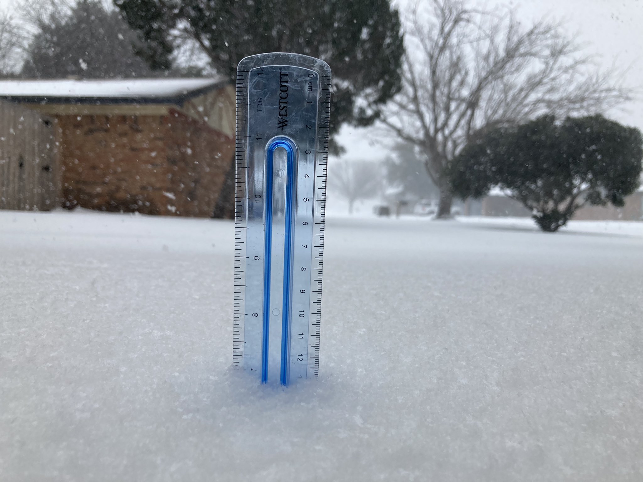
Ntxw wrote:WacoWx wrote:Ntxw wrote:
Yes. Short range models now actually intensify it as it passes through.
Ty. Great news!
Are the radar returns that have been around Ft Worth ALL day actual snow showers or just false radar echos due to the proximity of the radar site?
Western Dallas county and Tarrant county (and others but I haven't checked ground obs) are all snowing and have been. DFW airport has been in the middle of it and has snowed now since 2-3AM consecutively. Visibility has dropped again out there so it's snowing at the ground.
@15F now ties the daily record low. Temps are falling west to east.
The radar beam is doing a good job of showing the low-level snow showers streaming in from the north, in the extremely cold air, like it is getting squeezed out just near the surface. As the radar beam travels away from the radar site, it shoots higher up into atmosphere (due to the curvature of the earth), above this shallow layer of snow, and you don't see the radar returns as you get further away.
The bands moving-in from the west are higher-up - that's why you don't see them streaming from N-S like the ones you see right over the metroplex. Fascinating stuff to see the different layers of the atmosphere depicted on radar.
 The posts in this forum are NOT official forecast and should not be used as such. They are just the opinion of the poster and may or may not be backed by sound meteorological data. They are NOT endorsed by any professional institution or


