toad strangler wrote:Shell Mound wrote:SFLcane wrote:Say goodbye to your cool MDR per the CFS the switch is about to Flip. I do not have a weatherbell account to view the CFS daily but i was able to grab a screen shot of June26 via youtube. Check out those anomalies off the african coast! There is a hole there its do to the way its display but if it weren't there i'd bet you would have yourself an above average basin.
This is June 26th... we shall see in a few weeks if it verifies.
https://i.imgur.com/X4V4jzk.png
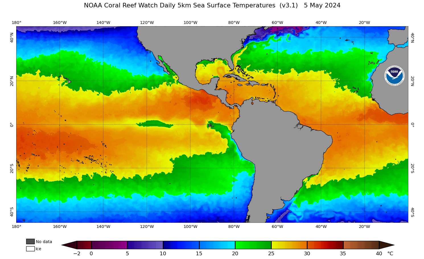
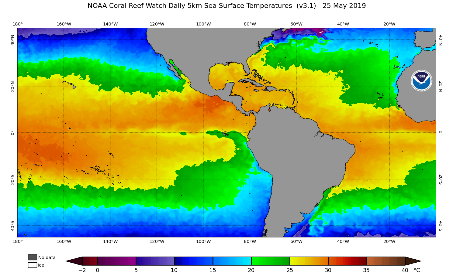
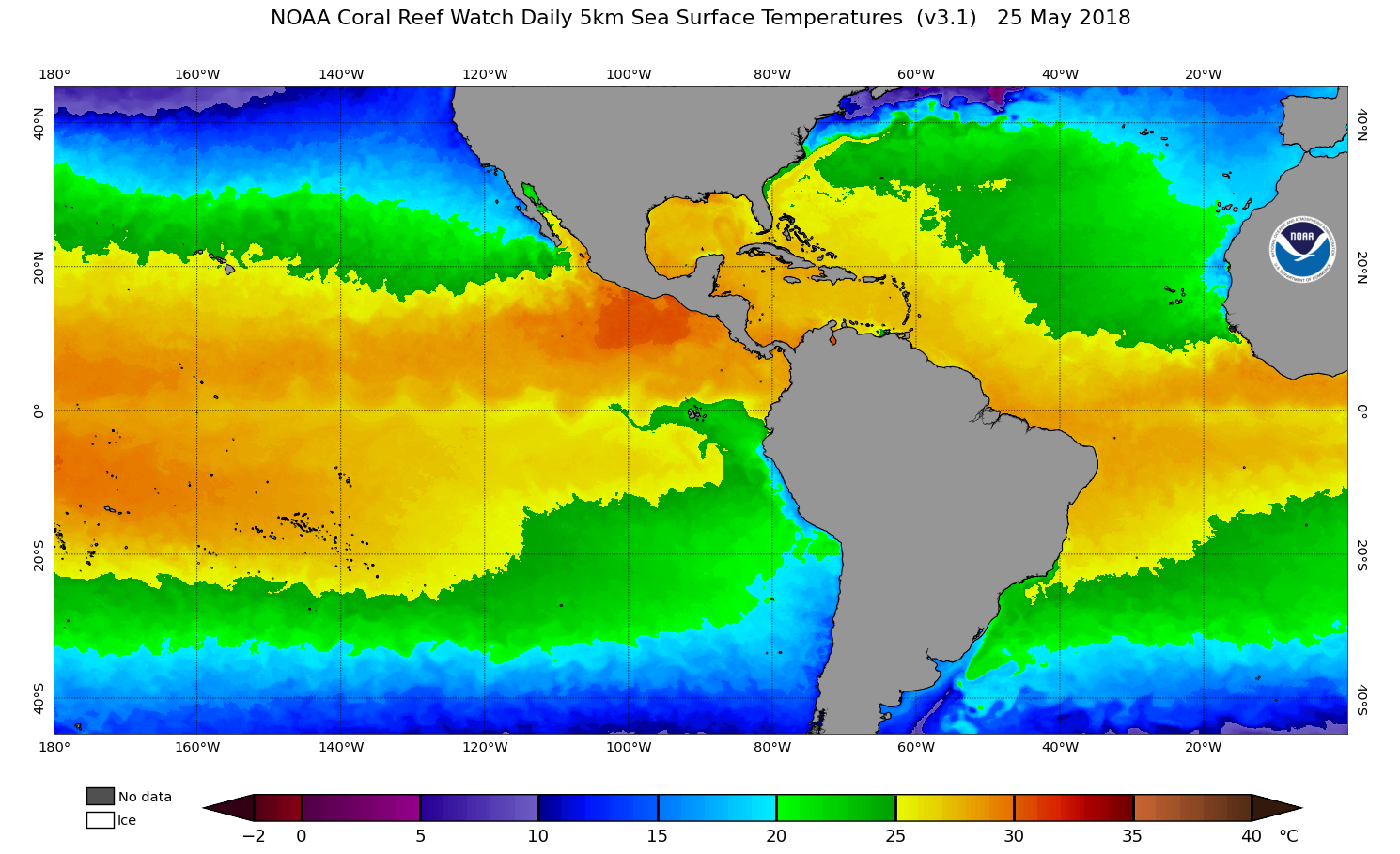
So far SST in the MDR have remained steady over the past week and a half, despite prolonged laxity of trades, so this forecast is likely to bust significantly.
As an aside, Ana’s track has been/is very similar to Arlene’s (1999). If so, I’m expecting more of a threat to the Carolinas than South Florida during ASO.
Analogs are for comparing background states and individual basin indicators. Not tracks IMO.
Privately, last year I examined the tracks of the first three or four storms and extrapolated patterns expected to recur based on those tracks. I found that subsequent tracks tended to match my expectations fairly well, in terms of trajectories at given coordinates, correlating well with mean steering currents. For example, Arthur’s location parabolic trajectory suggested some kind of col between blocking ridges that would enable threats to extreme southern FL and/or the Carolinas. This ended up happening with Isaac, Sally, and Eta. Based on a blend of the EC, NMME, SST analogs, and Ana’s track, some analogs that I came up with were 1862, 1906, 1936, 1999, and 2017. These years tended to feature hurricane impacts on South TX (three), between Gulfport MS and Destin FL (three), on South FL (four), and over or near the Carolinas (five). Based on these I am placing the Carolinas at highest risk of a hurricane impact, followed by South FL.


