
rigbyrigz wrote:A little bit of a mea culpa... as a Math major, I'm noticing an error that influenced much of my earlier thinking. Seems the various sites - Accuweather,WeatherNET,TWC... that showed hourly weather (including sustained and gusts) were a bit "off" for places like Keaton Beach and Steinhatchee (Big Bend Taylor County Coastal spots)...
...2-3 of them were all showing (AT TONIGHT) midnight: conditions= 50 or sustained, with gusts to 70 or more.... then same well into the night, towards 5AM.
But that's 3 hours from now, and it's ONLY waddling along at 10-14 mph? And the winds and dirty stuff are not 200 miles North/NE of center.
So this DEVELOPING scenario (if accurate) must be 20 hours off. Which means there was more time (to prep or worry) than I thought. Sorry about that, anyway.
Yes as tolakram alluded to, the track is not linear. The displacement between the LLC and MLC, along with degradation from dry air intrusion, created this sort of erratic/tugging effect on the true center (or as others would call it, wobbles).
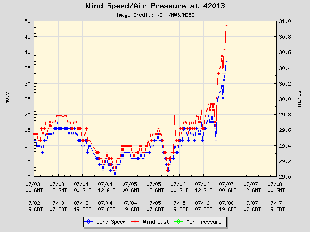
In addition, as others were discussing last night, we have a sharp gradient due to the low/mid level flow. You can see high pressure is located just to the east of Florida:

This creates almost like a wind tunnel effect, mostly observed at the mid-levels over the entire Florida peninsula, with some of these winds translating to the surface:

It's why there will be a wider swath of gusts then we would typically see with such a system.


