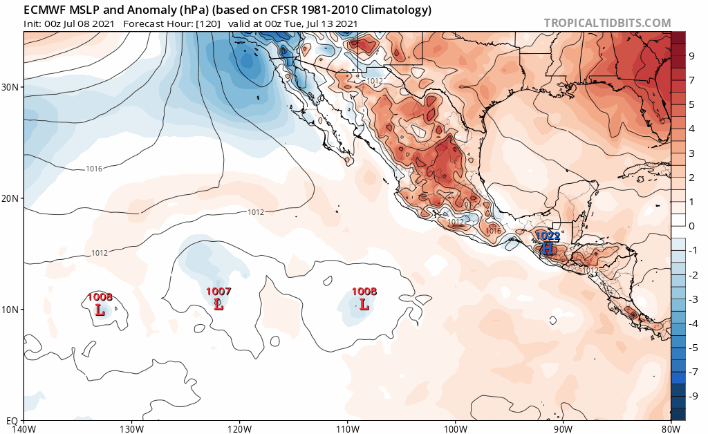
Has this absorbing another low (which the GFS falsely spins up into a TC) and makes this decently strong a bit sooner than 18z.
Moderator: S2k Moderators


Yellow Evan wrote:[url]https://cdn.discordapp.com/attachments/733552978572869632/862863952546234378/eps_chi200_anomaly_hov_equatorial_2021070800_MEAN.png[url]
ASW go brrr will likely kill serious activity in August. It’s these 2 CCKW’s in July or never.
Yellow Evan wrote:https://i.imgur.com/FIGaM5J.png
https://i.imgur.com/NrweVeh.png
18z GFS now potent with both systems.
Yellow Evan wrote:https://cdn.discordapp.com/attachments/733552978572869632/862863952546234378/eps_chi200_anomaly_hov_equatorial_2021070800_MEAN.png
ASW go brrr will likely kill serious activity in August. It’s these 2 CCKW’s in July or never at least for a while.


Yellow Evan wrote:https://i.imgur.com/81PFcK6.png
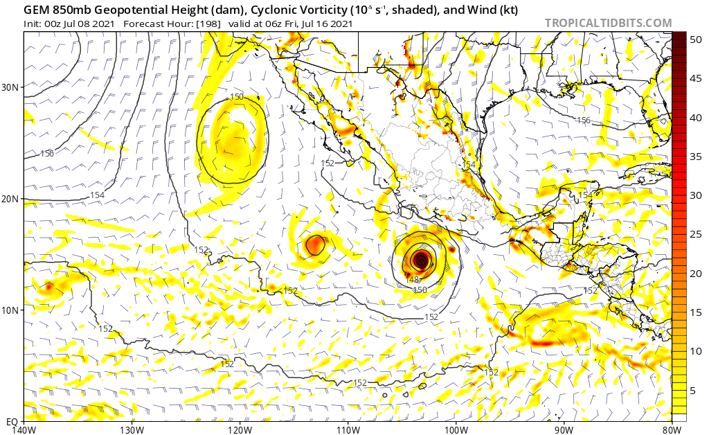
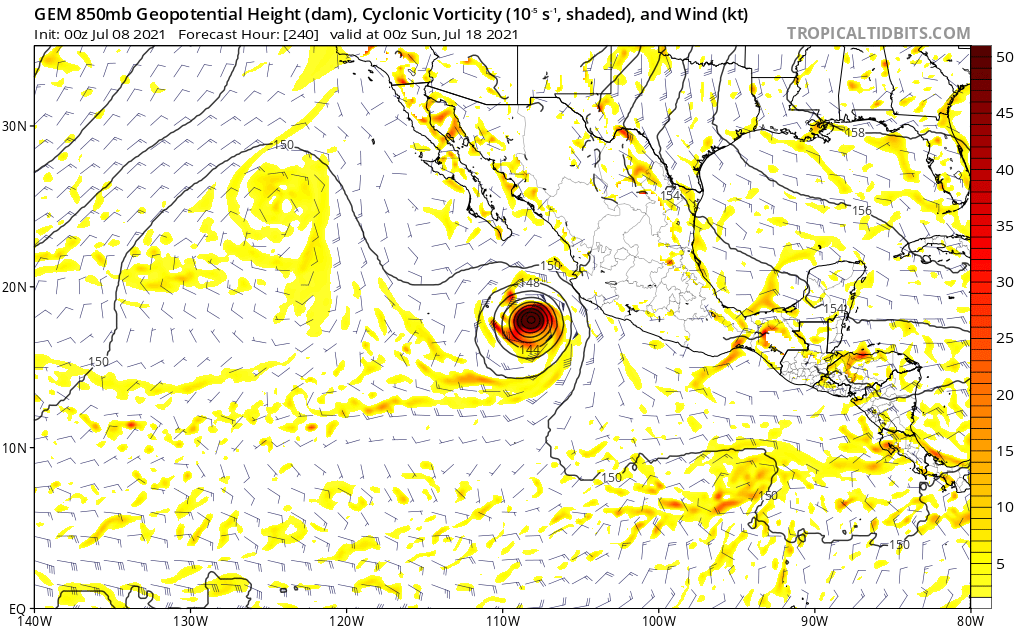
6z GFS is strongest run yet. Track also rapidly shifting west and now in line with the ECMWF.
Users browsing this forum: dexterlabio, gib, Google Adsense [Bot] and 412 guests