

Moderator: S2k Moderators


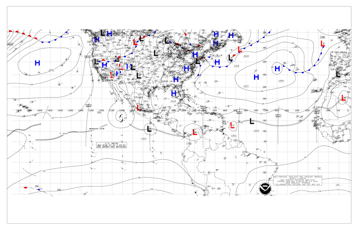
AlphaToOmega wrote:Surface analysis shows a closed low.
https://i.postimg.cc/zBVkw3cL/USA-06Z.gif


Aric Dunn wrote:Ascat b accounting for ambiguities... very likely closed.
just a small system and ASCAT, as you know, has issues with small systems.
Recon would likely find a TD
https://i.ibb.co/2yW1x1k/Capture.gif


AutoPenalti wrote:This needs to pick up latitude quickly if it's going to survive past the islands.

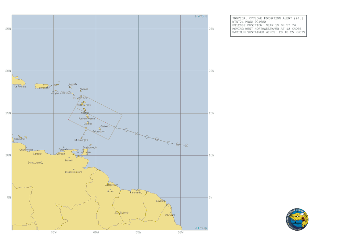
GCANE wrote:Tropical Cyclone Formation Alert posted
[url]https://i.postimg.cc/nVdQSjyz/al942021-21080906.gif [/url]
AubreyStorm wrote:GCANE wrote:Tropical Cyclone Formation Alert posted
[url]https://i.postimg.cc/nVdQSjyz/al942021-21080906.gif [/url]
So, it’s imminent TD soon right?
Users browsing this forum: No registered users and 20 guests


