
ATL: FRED - Post-Tropical - Discussion
Moderator: S2k Moderators
-
tolakram
- Admin

- Posts: 20186
- Age: 62
- Joined: Sun Aug 27, 2006 8:23 pm
- Location: Florence, KY (name is Mark)
Re: ATL: SIX - Potential Tropical Cyclone - Discussion
longer saved loop
1 likes
M a r k
- - - - -
Join us in chat: Storm2K Chatroom Invite. Android and IOS apps also available.
The posts in this forum are NOT official forecasts and should not be used as such. Posts are NOT endorsed by any professional institution or STORM2K.org. For official information and forecasts, please refer to NHC and NWS products.
-
alienstorm

- Category 1

- Posts: 496
- Joined: Tue Jul 31, 2007 1:29 pm
- Location: Miami Fla western suburb
Re: ATL: SIX - Potential Tropical Cyclone - Discussion
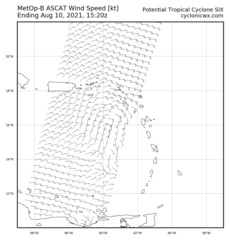
I would say the MLC possible LLC is up further north

0 likes
Personal Forecast Disclaimer:The posts in this forum are NOT official forecast and should not be used as such. They are just the opinion of the poster and may or may not be backed by sound meteorological data. They are NOT endorsed by any professional institution or storm2k.org. For official information, please refer to the NHC and NWS products.
-
wxman57

- Moderator-Pro Met

- Posts: 23175
- Age: 68
- Joined: Sat Jun 21, 2003 8:06 pm
- Location: Houston, TX (southwest)
Re: ATL: SIX - Potential Tropical Cyclone - Discussion
12Z GFS & ICON like Miami better than the Keys for landfall. Just one run, not a trend.
2 likes
-
AutoPenalti
- Category 5

- Posts: 4091
- Age: 29
- Joined: Mon Aug 17, 2015 4:16 pm
- Location: Ft. Lauderdale, Florida
Re: ATL: SIX - Potential Tropical Cyclone - Discussion
wxman57 wrote:12Z GFS & ICON like Miami better than the Keys for landfall. Just one run, not a trend.
Seems a lot slower and weaker.
0 likes
The posts in this forum are NOT official forecasts and should not be used as such. They are just the opinion of the poster and may or may not be backed by sound meteorological data. They are NOT endorsed by any professional institution or STORM2K. For official information, please refer to products from the NHC and NWS.
Model Runs Cheat Sheet:
GFS (5:30 AM/PM, 11:30 AM/PM)
HWRF, GFDL, UKMET, NAVGEM (6:30-8:00 AM/PM, 12:30-2:00 AM/PM)
ECMWF (1:45 AM/PM)
TCVN is a weighted averaged
Re: ATL: SIX - Potential Tropical Cyclone - Discussion
AutoPenalti wrote:wxman57 wrote:12Z GFS & ICON like Miami better than the Keys for landfall. Just one run, not a trend.
Seems a lot slower and weaker.
They both came in stronger, not weaker
1 likes
-
MGC

- S2K Supporter

- Posts: 5940
- Joined: Sun Mar 23, 2003 9:05 pm
- Location: Pass Christian MS, or what is left.
Re: ATL: SIX - Potential Tropical Cyclone - Discussion
Having my doubts that PTC6 closes off today. Looks like the dry air is winning the battle. Land interaction should further inhibit development tomorrow and Wednesday. Once the disturbance reaches the Atlantic off Cuba perhaps a defined circulation can establish itself......MGC
0 likes
-
AxaltaRacing24
- Category 5
- Posts: 1774
- Age: 25
- Joined: Wed Jul 27, 2016 11:14 am
- Location: Jupiter, FL
Re: ATL: SIX - Potential Tropical Cyclone - Discussion
AutoPenalti wrote:wxman57 wrote:12Z GFS & ICON like Miami better than the Keys for landfall. Just one run, not a trend.
Seems a lot slower and weaker.
Nope. Actually stronger.
5 likes
-
AxaltaRacing24
- Category 5
- Posts: 1774
- Age: 25
- Joined: Wed Jul 27, 2016 11:14 am
- Location: Jupiter, FL
Re: ATL: SIX - Potential Tropical Cyclone - Discussion
MGC wrote:Having my doubts that PTC6 closes off today. Looks like the dry air is winning the battle. Land interaction should further inhibit development tomorrow and Wednesday. Once the disturbance reaches the Atlantic off Cuba perhaps a defined circulation can establish itself......MGC
Doesn't seem that way to me currently. It has just under a day to close off before land interaction, and it appears to be currently closing off a bit more north.
1 likes
-
Hurricaneman

- Category 5
- Posts: 7404
- Age: 45
- Joined: Tue Aug 31, 2004 3:24 pm
- Location: central florida
Re: ATL: SIX - Potential Tropical Cyclone - Discussion
And if that low forms there and it moves at it’s current heading it would landfall just east of Ponce, PR
0 likes
-
AutoPenalti
- Category 5
- Posts: 4091
- Age: 29
- Joined: Mon Aug 17, 2015 4:16 pm
- Location: Ft. Lauderdale, Florida
Re: ATL: SIX - Potential Tropical Cyclone - Discussion
AxaltaRacing24 wrote:AutoPenalti wrote:wxman57 wrote:12Z GFS & ICON like Miami better than the Keys for landfall. Just one run, not a trend.
Seems a lot slower and weaker.
Nope. Actually stronger.
https://imgur.com/NZdq4AW
I was looking at the wrong run. My bad.
1 likes
The posts in this forum are NOT official forecasts and should not be used as such. They are just the opinion of the poster and may or may not be backed by sound meteorological data. They are NOT endorsed by any professional institution or STORM2K. For official information, please refer to products from the NHC and NWS.
Model Runs Cheat Sheet:
GFS (5:30 AM/PM, 11:30 AM/PM)
HWRF, GFDL, UKMET, NAVGEM (6:30-8:00 AM/PM, 12:30-2:00 AM/PM)
ECMWF (1:45 AM/PM)
TCVN is a weighted averaged
-
wxman57
- Moderator-Pro Met
- Posts: 23175
- Age: 68
- Joined: Sat Jun 21, 2003 8:06 pm
- Location: Houston, TX (southwest)
Re: ATL: SIX - Potential Tropical Cyclone - Discussion
Levi has a new video out on PTC Six: https://www.youtube.com/watch?v=LQzmCrZ6BUw
9 likes
-
alienstorm
- Category 1
- Posts: 496
- Joined: Tue Jul 31, 2007 1:29 pm
- Location: Miami Fla western suburb
Re: ATL: SIX - Potential Tropical Cyclone - Discussion
Is the plane going to Aruba LOL
1 likes
Personal Forecast Disclaimer:The posts in this forum are NOT official forecast and should not be used as such. They are just the opinion of the poster and may or may not be backed by sound meteorological data. They are NOT endorsed by any professional institution or storm2k.org. For official information, please refer to the NHC and NWS products.
Re: ATL: SIX - Potential Tropical Cyclone - Discussion
This system will probably struggle to get going until it reaches about 74W.
1 likes
-
AlphaToOmega
- Category 5
- Posts: 1448
- Joined: Sat Jun 26, 2021 10:51 am
- Location: Somewhere in Massachusetts
Re: ATL: SIX - Potential Tropical Cyclone - Discussion
The fact that it is not tightly organized will work to its benefit in surviving Hispañola
6 likes

Re: ATL: SIX - Potential Tropical Cyclone - Discussion
Cat5James wrote:The fact that it is not tightly organized will work to its benefit in surviving Hispañola
Not only that, but it could help to close of the low as we have seen with weaker systems that just miss the mountains.
It looks like the 'core' will pass just north of the mountains, which is a good spot for the terrain to help.close it off.
1 likes
-
skyline385

- Category 5
- Posts: 2728
- Age: 35
- Joined: Wed Aug 26, 2020 11:15 pm
- Location: Houston TX
ATL: SIX - Potential Tropical Cyclone - Discussion
12Z HWRF stronger than last run but probably still very inaccurate as the system still doesn't have a well defined center and recon just got the data to feed in for the next runs...
1 likes
-
ElectricStorm

- Category 5
- Posts: 5148
- Age: 25
- Joined: Tue Aug 13, 2019 11:23 pm
- Location: Norman, OK
Re: ATL: SIX - Potential Tropical Cyclone - Discussion
My guess is this doesn't so much until after it clears the islands. That being said however I think there's a chance it spins up quickly once it does so. Might be looking at a mid-strong TS coming in
0 likes
B.S Meteorology, University of Oklahoma '25
Please refer to the NHC, NWS, or SPC for official information.
Please refer to the NHC, NWS, or SPC for official information.
-
Craters
- Category 1
- Posts: 428
- Joined: Sat Aug 24, 2013 2:34 pm
- Location: Alvin, TX (south of Houston)
Re: ATL: SIX - Potential Tropical Cyclone - Discussion
AlphaToOmega wrote:aspen wrote:So close…some of those new convective bursts should help close this off for good. Not sure if dry air is an issue because the structure of the storm on satellite looks good.
Dry air is not an issue for this system. There is very little Sharan dust in the Atlantic.
Saharan dust is not a requirement for dry air.
2 likes
Nothing that I post here should ever be treated as a forecast or anything resembling one. Please check with your local NWS office or the NHC for forecasts, watches, and warnings.
-
SouthDadeFish

- Professional-Met

- Posts: 2836
- Joined: Thu Sep 23, 2010 2:54 pm
- Location: Miami, FL
- Contact:
Re: ATL: SIX - Potential Tropical Cyclone - Discussion
skyline385 wrote:12Z HWRF stronger than last run but probably still very inaccurate as the system still doesn't have a well defined center and recon just got the data to feed in for the next runs...
The 12Z HWRF assimilated the recon data. It's initialization looked quite reasonable to me. Shows a tilted vortex. However, the rest of the run is debatable. I wouldn't totally rule it out, but it doesn't seem like the most likely scenario.
1 likes
Who is online
Users browsing this forum: No registered users and 20 guests