aspen wrote:GCANE wrote:Ouch!!
Right in the middle of a 355K PV Ring as it enters the GoM
[url]https://i.postimg.cc/XJvScVMK/gfs-pv355-K-atl-9.png [/url]
What will that do?
Strengthen it
Moderator: S2k Moderators
aspen wrote:GCANE wrote:Ouch!!
Right in the middle of a 355K PV Ring as it enters the GoM
[url]https://i.postimg.cc/XJvScVMK/gfs-pv355-K-atl-9.png [/url]
What will that do?

Jagno wrote:These drastic model flip flops will ultimately catch people totally off guard. Please do not relax your preparations anywhere from Texas to Florida.


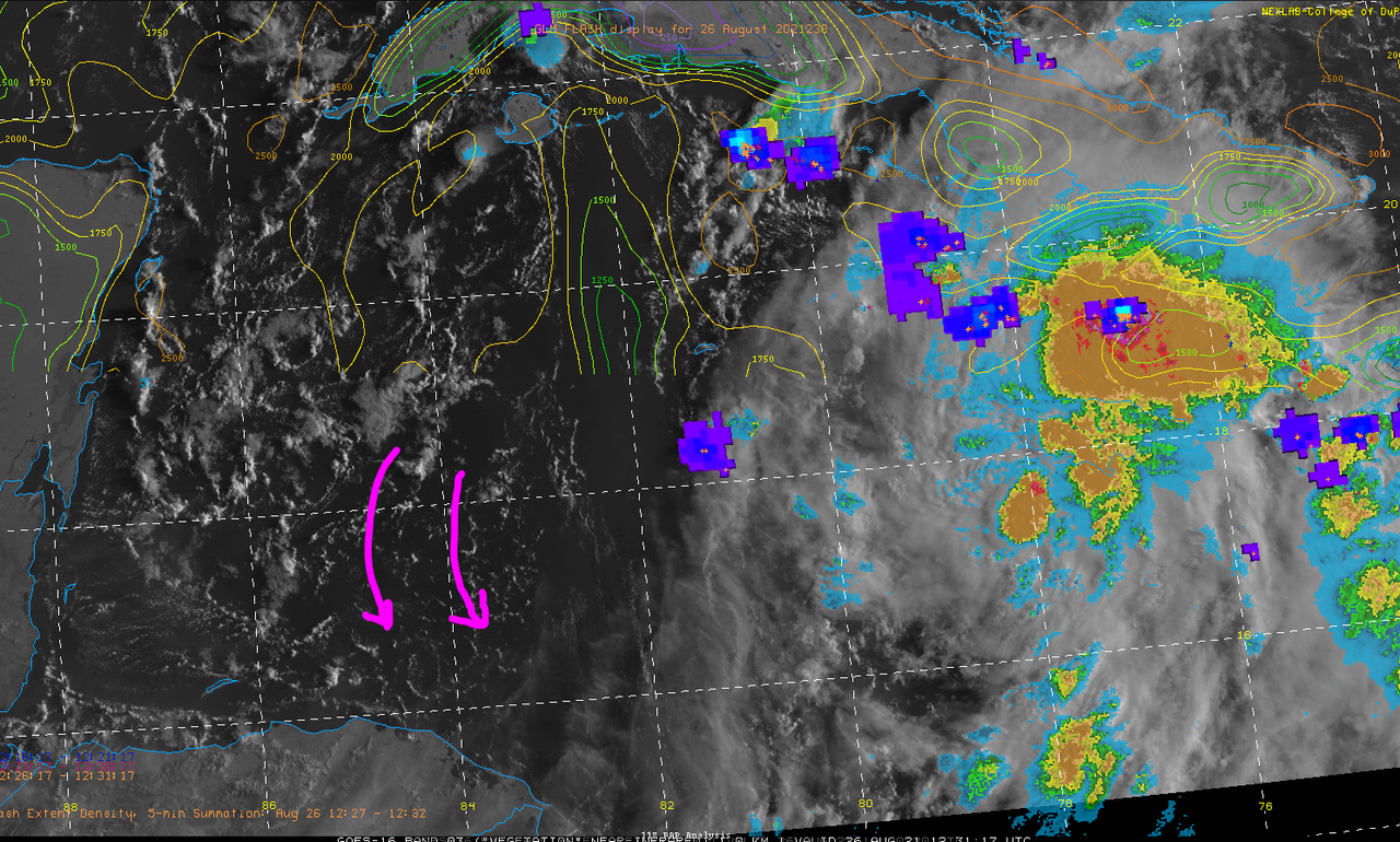
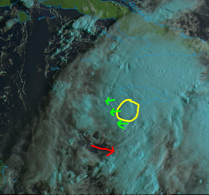
jaguars_22 wrote:Can someone tell me where the circulation is with this storm. All I see is a blob over Jamaica and no low level organization or type of spin to it

jaguars_22 wrote:Can someone tell me where the circulation is with this storm. All I see is a blob over Jamaica and no low level organization or type of spin to it


AlphaToOmega wrote:It does not matter if the storm makes landfall in Texas, Mexico, or Louisiana. Impacts from Invest 99L may extend far beyond the place where this storm makes landfall. Everyone on the Gulf Coast must be prepared, for this storm could hit any one of you!
jlauderdal wrote:AlphaToOmega wrote:It does not matter if the storm makes landfall in Texas, Mexico, or Louisiana. Impacts from Invest 99L may extend far beyond the place where this storm makes landfall. Everyone on the Gulf Coast must be prepared, for this storm could hit any one of you!
it matters big time if you are in the eyewall of a major hurricane. Everyone needs to be prepared but this isn't henri or elsa we are dealing with, a few miles here and there makes a huge difference on effects in a major which this will be next week.

jlauderdal wrote:Jagno wrote:These drastic model flip flops will ultimately catch people totally off guard. Please do not relax your preparations anywhere from Texas to Florida.
They haven't been that drastic in the short term, they are trending towards the east, if you are in LA and points east I would begin preps today. Hopefully, you won't need them but it's august, your supplies will last until the end of the season. There is no reason to be caught in a gas or food line.
Users browsing this forum: No registered users and 83 guests