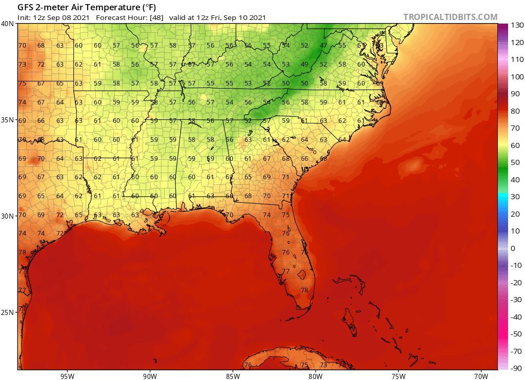
Ubuntwo wrote:aspen wrote:Mid-late October could be nasty with a Kelvin Wave moving into a Nina-favored western Atlantic.
It’s not all bears for September, as the Euro ensembles and other models suggest there are 3 waves in the next 10-12 days with chances to develop. However, this really doesn’t feel like September; it still seems like mid-late August when we’ve gotten a big storm (in this situation, Larry) but are still waiting for the switch to be flipped as we enter the peak of the season. Climo Peak Day is Friday, and it feels like the switch was turned on for 2-3 weeks but has been switched off already.
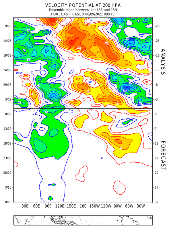
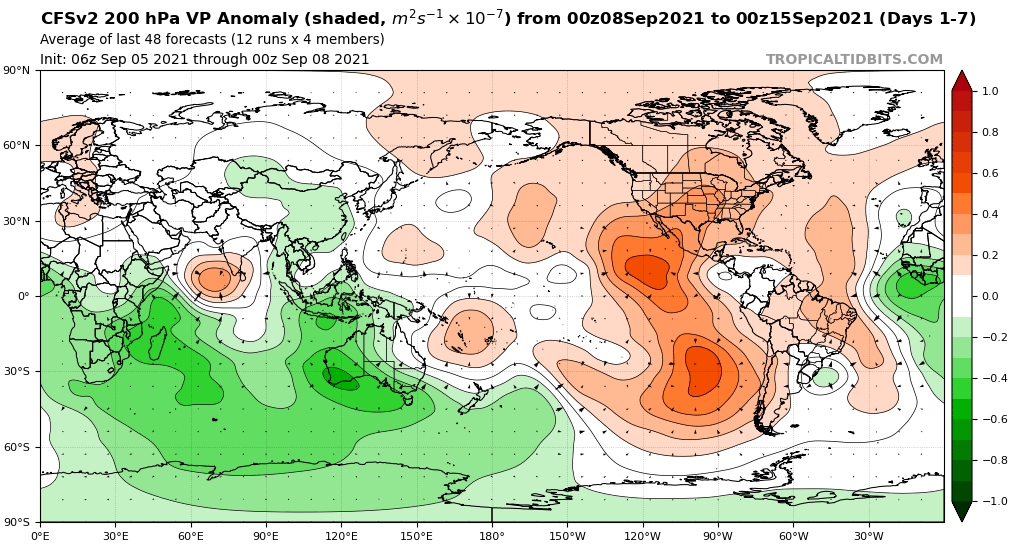
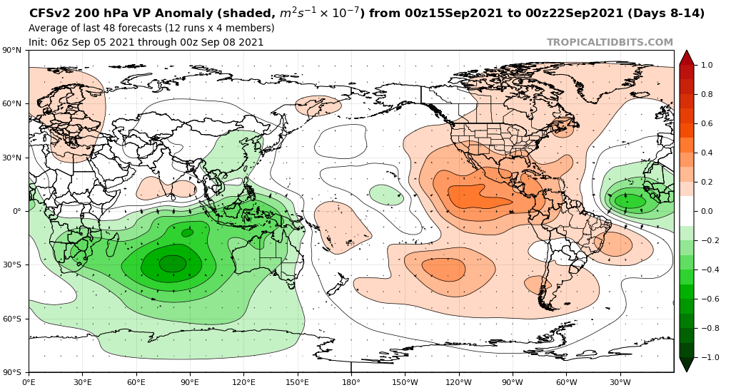
Seasons almost always follow cyclic patterns of activity w/ the MJO and CCKWs. We had a two week period with 3 major hurricanes including a high end cat 4 landfall on the CONUS and a long track annular ACE producer. To see that kind of activity continue without pause is extremely rare. For some seasons, peak activity lines up better with August or October than September.
Like I said I few days ago, all this talk about unfavorable conditions in the MDR, stability, etc, but we literally are watching a large long-tracker make it's way across the basin producing HUGE ACE. Yes, it's not a cat 4-5 headed towards land like 2017,18, and 19, but it is still a major storm that is lasting for multiple days in early September. Although the models do not currently show it, I'd expect at least 3-4 more storms once large Larry exits the basin before the month ends.
Important to add: While this is not a TC spamfest like 2020, we are still right on pace with that season in terms of quality systems. If we even have 3 more majors (all it takes is 1-2 in September and October combined), we could end up matching 2017 in majors, just one short of the all time record.