New euro looks to be 1-2% better


Moderator: S2k Moderators


AutoPenalti wrote:caneseddy wrote:
The good news is that this is 10 days out which can and will change...however if it does not that pattern screams SE FloridaThe posts in this forum are NOT official forecasts and should not be used as such. They are just the opinion of the poster and may or may not be backed by sound meteorological data. They are NOT endorsed by any professional institution or STORM2K. For official information, please refer to products from the NHC and NWS.
It doesn't. At the very end of the run most members sharply, and I mean SHARPLY curve it away from mainland US. If this run continued past 240 then I would bet on climo and say this is an uncomfortable OTS or Bermuda track for now.


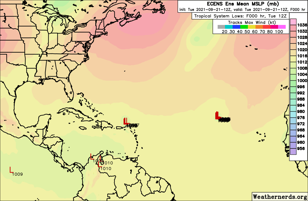
grapealcoholic wrote:Can already tell this is going to be an interesting run
toad strangler wrote:grapealcoholic wrote:Can already tell this is going to be an interesting run
how?
kevin wrote:18z GFS already ~130 miles further SW at +114 hours compared to the 12z run.

grapealcoholic wrote:Can already tell this is going to be an interesting run

grapealcoholic wrote:toad strangler wrote:grapealcoholic wrote:Can already tell this is going to be an interesting run
how?
Ridging looks stronger


toad strangler wrote:18z GFS is a good jog further SW than 12z but the 500mb map screams easy re-curve before affecting even the N Lesser Antilles. PArt of larger trend though? We shall see.
skyline385 wrote:The ridge is just beginning to build and its already so much SW, good chance of a CONUS hit this run probably
Users browsing this forum: No registered users and 44 guests


