#316 Postby aspen » Thu Sep 01, 2022 7:06 am
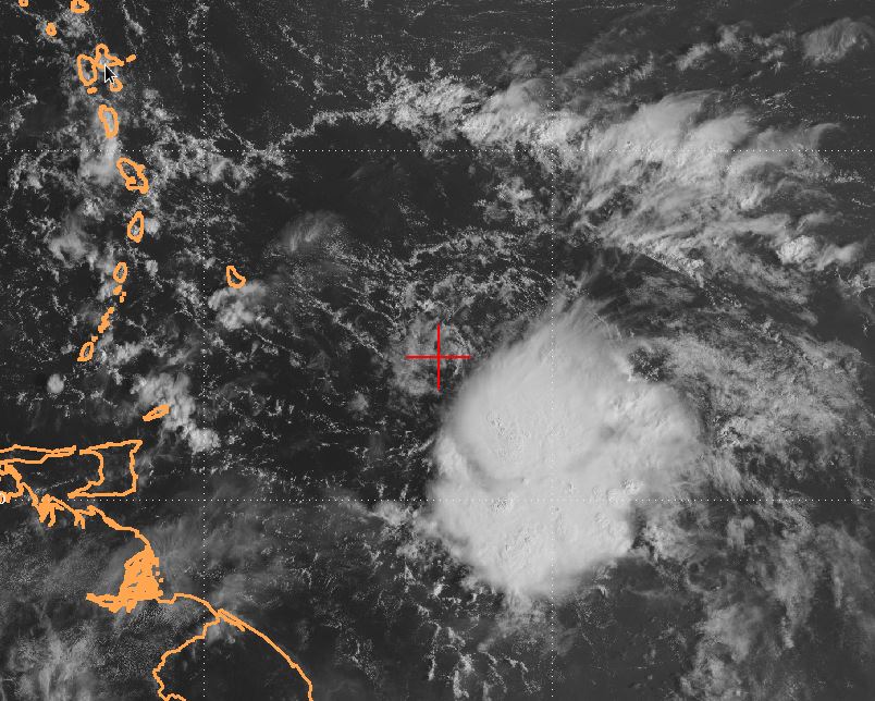
It would be a massive bust from over half the models — GFS, CMC, ICON, HWRF, HMON — if this never develops. Just look at it today, it’s already close to TD status.
I think the GFS’s solution of a recurving major is possible, probably something similar to Humberto ‘19 except around 60W. 91L won’t have to deal with upwelling once it starts accelerating to the NE, it might run over an anomalous patch of 29.5-30C SSTs east of Bermuda, and there’s always the probability of it getting some baroclinic enhancement as it recurves.
3 likes
Irene '11 Sandy '12 Hermine '16 5/15/2018 Derecho Fay '20 Isaias '20 Elsa '21 Henri '21 Ida '21
I am only a meteorology enthusiast who knows a decent amount about tropical cyclones. Look to the professional mets, the NHC, or your local weather office for the best information.


