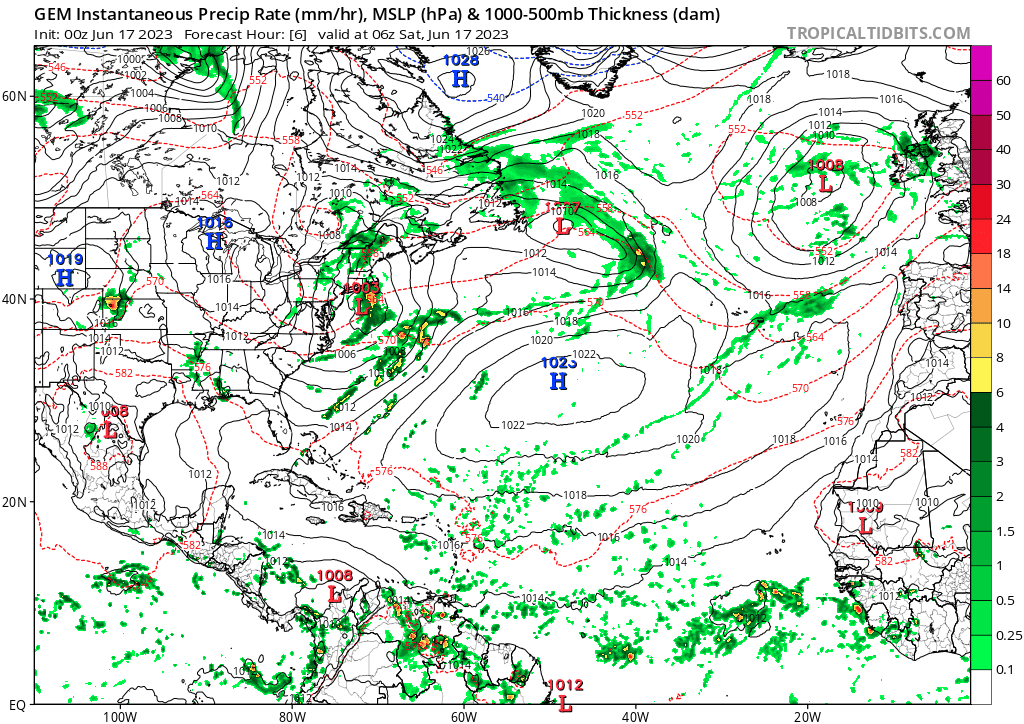
A shortwave trough is currently located over Oklahoma/Kansas, and is closed (between roughly the 925mb–500mb level) but not too well-stacked aloft. You may be rightfully wondering what in the world this has to do with anything tropical. Over the next few days, this shortwave is expected to move southeast and should reach the Florida/Georgia border Saturday night. After that, it'll swing east and northeast along a decaying front / baroclinic zone off the East Coast after moving offshore sometime Sunday.
As a general rule of thumb, regardless of model consensus for tropical cyclone development or not, frontal waves off the East Coast of the US often provide seedlings for tropical cyclones throughout the hurricane season. These sorts of developments often sneak up on model guidance (think of all the various, rapidly organizing but typically weak tropical storms that have formed off the coast in recent years). If this particular disturbance can get sufficient convective activity going offshore (and find an area of lower wind shear), it has some shot of organizing into a tropical cyclone (note the low tracks off the East Coast on the GEFS and EPS). Based on the projected steering, the precursor system will likely be more impactful with regard to severe weather and flooding over the SE US than whatever offshore system develops, but it could nonetheless be something to watch for the wx enthusiasts and shipping out there.
GEFS 6z Low Tracks off the East Coast. Source: Weathernerds.org