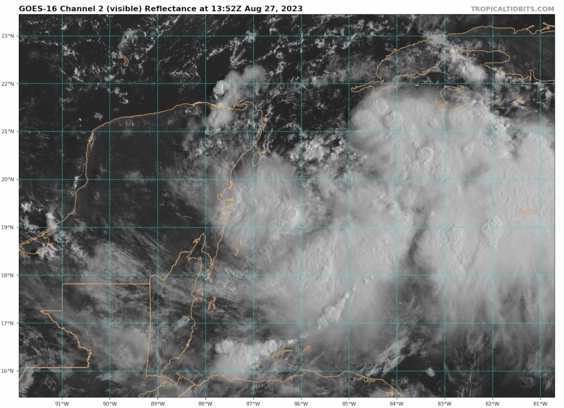
@19.9N/85.8W… Appears to be moving faster to the E than 2 mph. JMHO
Moderator: S2k Moderators


NDG wrote:I can't believe they didn't wait for the recon info before the Advisory at 11 AM, crazy.


typhoonty wrote:NDG wrote:I can't believe they didn't wait for the recon info before the Advisory at 11 AM, crazy.
They write the discussions in advance to get out prior to 11AM posted time. If they incorporated the recon data in they would've delayed it past the "deadline" I expect them to issue a tropical cyclone update shortly.

Owasso wrote:We have Idalia
...DEPRESSION STRENGTHENS TO A TROPICAL STORM...
Observations from a NOAA Hurricane Hunter aircraft indicate that
Tropical Depression Ten has strengthened into Tropical Storm Idalia.
The maximum winds are estimated to be 40 mph (65 km/h) with higher
gusts.
SUMMARY OF 1015 AM CDT...1515 UTC...INFORMATION
---------------------------------------------------
LOCATION...19.9N 85.8W
ABOUT 80 MI...135 KM ESE OF COZUMEL MEXICO
MAXIMUM SUSTAINED WINDS...40 MPH...65 KM/H
PRESENT MOVEMENT...E OR 90 DEGREES AT 2 MPH...4 KM/H
MINIMUM CENTRAL PRESSURE...996 MB...29.41 INCHES
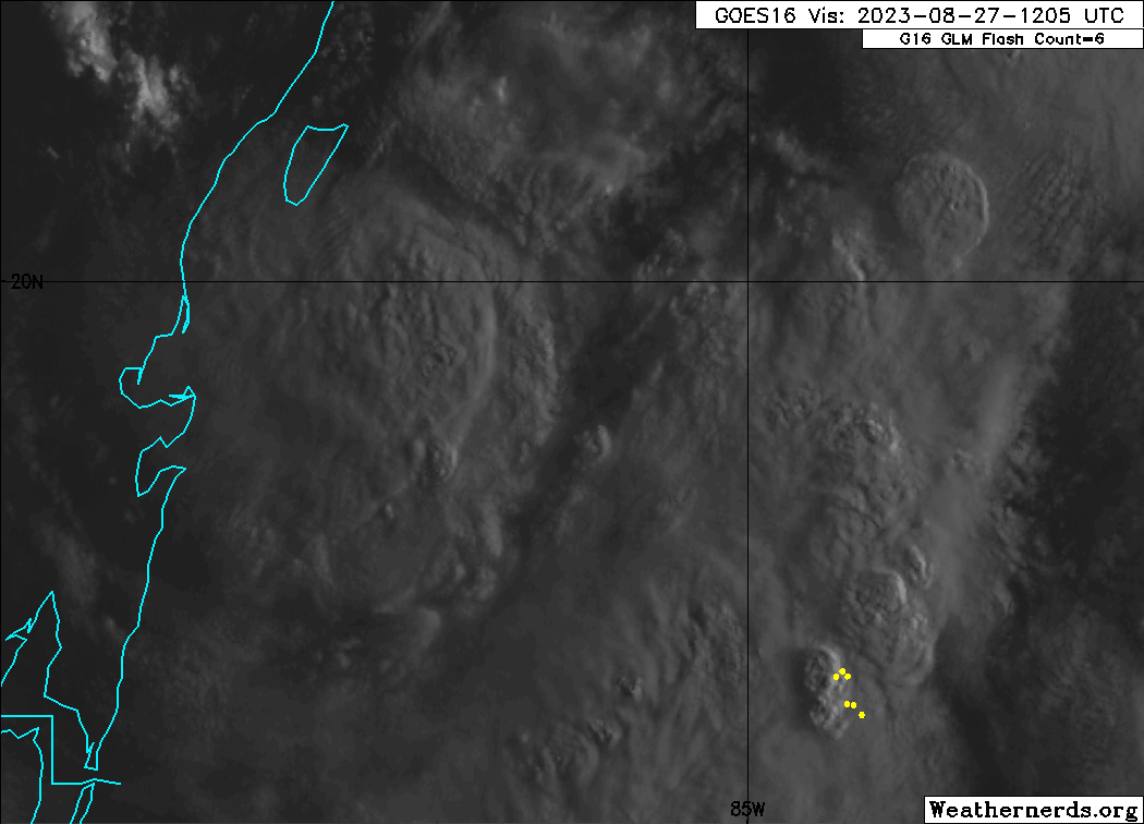


Chemmers wrote:Looks like the convection on the North side is starting to fill in
What is CAPE looking like today?GCANE wrote:Getting to be the time of day when solar heating puts a lid on intensification.
May see more action around sunset.
Going to be a lot of popups over the Yucatan and Cuba late afternoon which will feed in moisture overnight


Iceresistance wrote:Lowest Extrapolated Pressure of 995.7 mb.
https://s11.gifyu.com/images/SgQev.png
https://s11.gifyu.com/images/SgQev.png
I have never seen a 40-mph storm with a pressure of less than 1000 mb.
Users browsing this forum: No registered users and 81 guests


