ConvergenceZone wrote:hohnywx wrote:ConvergenceZone wrote:
So that means that we probably won't see much strengthening until Tuesday(the day before landfall) then right? because of the shear?
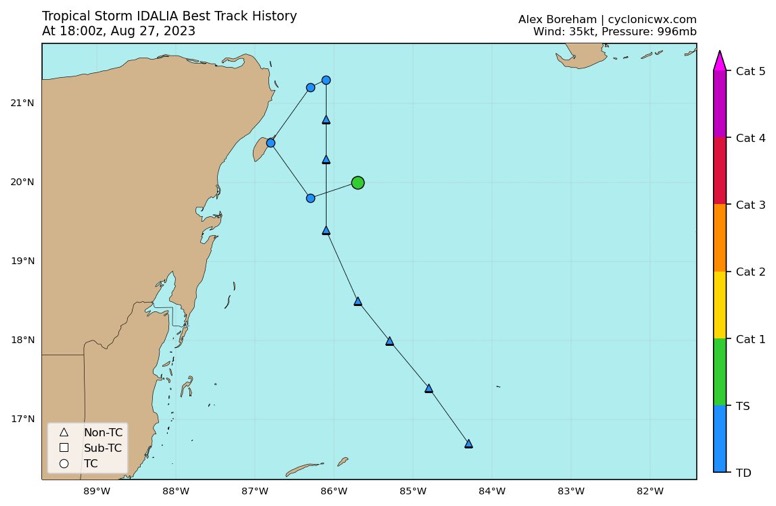
The forecast is available in the NHC discussionFORECAST POSITIONS AND MAX WINDS
INIT 27/1500Z 19.9N 85.8W 30 KT 35 MPH
12H 28/0000Z 19.7N 85.9W 40 KT 45 MPH
24H 28/1200Z 20.6N 85.7W 45 KT 50 MPH
36H 29/0000Z 21.9N 85.5W 50 KT 60 MPH
48H 29/1200Z 24.0N 85.2W 60 KT 70 MPH
60H 30/0000Z 26.2N 85.0W 75 KT 85 MPH
72H 30/1200Z 28.9N 84.0W 80 KT 90 MPH
96H 31/1200Z 33.0N 79.5W 45 KT 50 MPH...INLAND
120H 01/1200Z 34.5N 74.0W 45 KT 50 MPH...OVER WATER
I think those short-term windspeed numbers COULD be too high initially due to the shear that it's encountering. Perhaps the shear is higher than expected. I still think it will make it to hurricane strength as forecasted, but may take longer than expected to do so. The next 24 hours will be crucial to see if it can hold it's strength....We will see what their next discussion says.
The next 24 hours could help set the stage for how it behaves down the road, but I’m not sure I’d say they’re crucial. Despite the currently accurate descriptor of “sheared mess”, we have a very small and vigorous core here, and I don’t see much to change that in the future, even if this moderate shear persists.
The final 24 hours before landfall are the crucial period, which is what makes this concerning, as conditions should become quite a bit more favorable. With a small tight core like this, the intensity could ramp up quickly near landfall, which could have impacts on track as well. That makes two dimensions in which Florida residents could be caught off guard, and I hope that having Ian still fresh in their minds keeps them on alert.