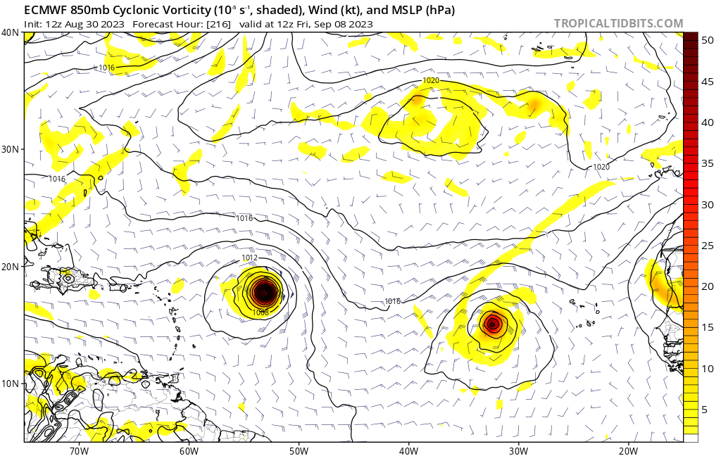
chaser1 wrote:I'm convinced. Someone has neutered the GFS LOL.
EURO, GEM, and ICON all showing a disturbance near 35W at about 138 hours. I'm hardly seeing GFS ensemble evidence of this feature.
CMC,ICON have it pretty instant fish.
Moderator: S2k Moderators


chaser1 wrote:I'm convinced. Someone has neutered the GFS LOL.
EURO, GEM, and ICON all showing a disturbance near 35W at about 138 hours. I'm hardly seeing GFS ensemble evidence of this feature.


SFLcane wrote:chaser1 wrote:I'm convinced. Someone has neutered the GFS LOL.
EURO, GEM, and ICON all showing a disturbance near 35W at about 138 hours. I'm hardly seeing GFS ensemble evidence of this feature.
CMC,ICON have it pretty instant fish.

Kat5 wrote:So many fishes so little time!


SFLcane wrote:https://i.postimg.cc/GhPT5zrt/jjjjjnnn.gif
SFLcane wrote:https://i.postimg.cc/GhPT5zrt/jjjjjnnn.gif
AutoPenalti wrote:SFLcane wrote:https://i.postimg.cc/GhPT5zrt/jjjjjnnn.gif
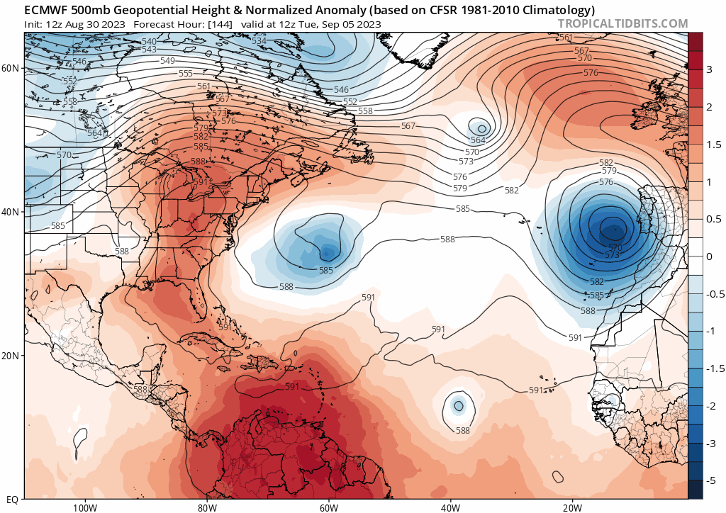
Cut off low is there, likely a Carolinas threat if you want to play fantasy past 240.

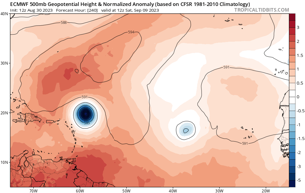
cycloneye wrote:GFS has it as a strong wave moving thru PR on the 10th.
Users browsing this forum: Ntxw and 197 guests