Woofde wrote:jlauderdal wrote:Ianswfl wrote:
Still, why do you think it would be a SE coast threat like FL, GA, or SC with the model trends?
This isnt a SE coast storm, time to move on from that theory,hope or whatever it is, not happening regardless of a little south or west trend the next few days...north carolina and north, maybe. Southwest Florida will not have any direct effects from Lee. Enjoy the lower dewpoints and good weather in SW Florida.
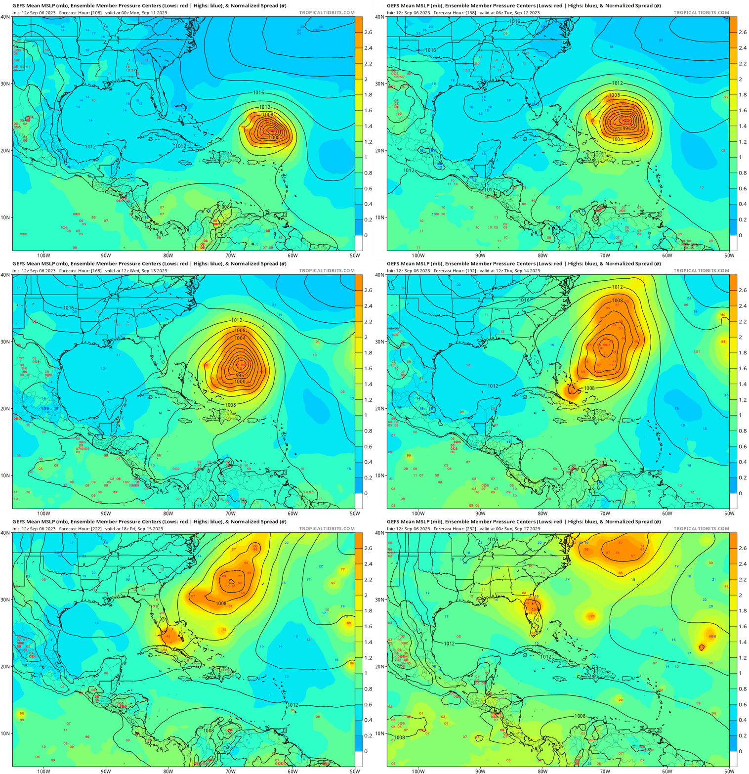
I'm not gonna say it's likely a SE storm, because that's not a favored pattern. That said just look at the GFS 7 days out. Models become unskilled fast past this point. I don't think it's reasonable to rule out the Southeast just yet. There's good reason the NHC cone only goes out 5 days.
https://uploads.tapatalk-cdn.com/20230906/5edf5554d4d5e84979948aa0f0a27e34.jpg
This is a good point. It’s definitely less likely that anything south of the Carolinas would take a direct impact here, but I still wouldn’t rule it out. I genuinely wonder where the fish bandwagoners are getting their confidence from, because the gfs runs don’t instill a lot of confidence yet in me. Even the runs that miss are an extremely close call, and more importantly, the 500mb setup in 7+ days is still showing a good deal of run to run variation.
I’m not going to post a map, but y’all should go take a look at the 12z gefs. The first camp darts northward, a second camp hangs out a little longer and passes near the east coast, and a few trailing members present a greater threat. If anything, the spread may have actually increased over the last few runs beyond day 7, highlighting continued uncertainty in the timing and evolution of the trough.
The storm and the setup are going to eventually do what they do, regardless of what one hopes for, and the ultimate outcome can’t be accurately forecast yet. This isn’t politics where something becomes true if it gets repeated enough times.


