https://www.tropicaltidbits.com/analysi ... 012&fh=216[/quote]
Is JB copying my posts? I beat him to the punch by 4 hours
Per JB on X:
https://twitter.com/BigJoeBastardi/stat ... ref_url%3D
—————————
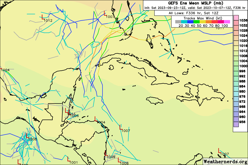
I think that another home brew under the next big NE high late next week is much more likely than the 18Z GFS idea of that storm coming all the way to the CONUS. There’s no room for both and the 18Z GFS is an extreme outlier considering its own ensemble, other models, and climo. A home brew under a big and strong high OTOH wouldn’t be.