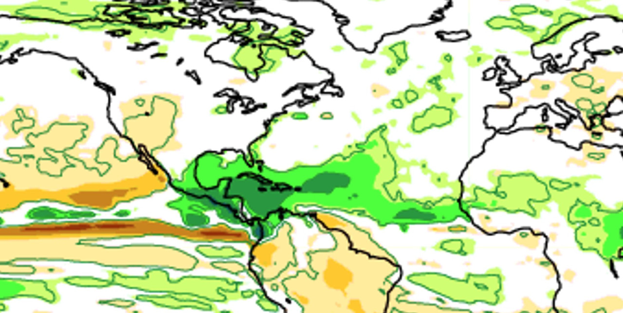
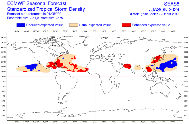
Category5Kaiju wrote:Cpv17 wrote:With the subtropics warming so much lately, that could possibly mean more recurves, right?
I didn't understand warm subtropics as being indicative of storm tracks? 2017 had relatively warm subtropics and was a heavy landfall year, while last year had a much warmer deep tropics than subtropics and featured very little land impacts.
Generally speaking, ENSO state is an better indication of storm tracks, with El Ninos favoring OTS storms and weak-moderate La Ninas favoring land-impacting tracks. Even then, exact specifics on steering during peak season can't really be determined this far out in time.
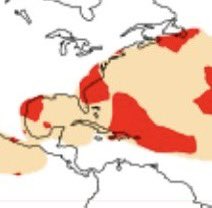
More specifically per TheAustinMan’s great maps, the highest avg landfall anom overall has been favored by weak La Niña followed by moderate to strong Niña (per ASO ONI). In wk Niña, the anom has averaged highest centered over the Bahamas with the area from the N Carib to E GOM to NC well above avg risk. For the CONUS overall, this has been the most dangerous on avg, especially for FL/SE coast and E GOM coast. In mod+ Niña, the avg landfall risk/anom isn’t as high and is centered further SW over the NW Car. The overall Central America risk is slightly higher than that for weak Niña.
With RONI and ONI now so much out of synch, it’s probably better to focus on ASO RONI.


