ATL: BERYL - Models
Moderator: S2k Moderators
-
Astromanía
- Category 2

- Posts: 798
- Age: 27
- Joined: Sat Aug 25, 2018 10:34 pm
- Location: Monterrey, N.L, México
-
Nederlander
- S2K Supporter

- Posts: 1259
- Joined: Sat Jul 19, 2008 4:28 pm
- Location: Conroe, TX
Re: ATL: BERYL - Models
LSU Saint wrote:Should I feel safer in Houston yet?
I would say Galveston/Houston is unlikely but not impossible at this point. If Beryl stays stronger and less interaction with Jamaica and the Yucatán, then I could see a more northern track. Odds right now seem to favor TX/MX border to Corpus. Should have more model agreement once the upper air data is ingested into tonight’s model runs.
0 likes

Re: ATL: BERYL - Models
Senobia wrote:Hey, hey, everyone -
Been perusing the models thread here and I'm curious if any pro-mets have chimed in with which models they believe to be the most accurate with this system thus far. Our local mets haven't referenced any particular model at all, but one has already declared, "Beryl is going to XXX on this date at this time at this intensity." Pretty reckless, IMO - so I'm just wondering what other pro-mets' thoughts are about current models.
Also, have there been any model runs posted that include the steering pattern in the graphic?
Who said that? Or what channel?
0 likes

Re: ATL: BERYL - Models
IcyTundra wrote:https://twitter.com/BigJoeBastardi/status/1808293278296768795
So Lake Charles/Sabine Pass is starting to look like bulls-eye???
0 likes
Personal Forecast Disclaimer:
The posts in this forum are NOT official forecast and should not be used as such. They are just the opinion of the poster and may or may not be backed by sound meteorological data. They are NOT endorsed by any professional institution or storm2k.org. For official information, please refer to the NHC and NWS products.
The posts in this forum are NOT official forecast and should not be used as such. They are just the opinion of the poster and may or may not be backed by sound meteorological data. They are NOT endorsed by any professional institution or storm2k.org. For official information, please refer to the NHC and NWS products.
-
tolakram
- Admin

- Posts: 20186
- Age: 62
- Joined: Sun Aug 27, 2006 8:23 pm
- Location: Florence, KY (name is Mark)
Re: ATL: BERYL - Models
Blinhart wrote:IcyTundra wrote:https://twitter.com/BigJoeBastardi/status/1808293278296768795
So Lake Charles/Sabine Pass is starting to look like bulls-eye???
This far out, you want to call it? I don't understand this kind of post. Until the NHC says the gulf coast is in danger then IMO it's keep watching.
7 likes
M a r k
- - - - -
Join us in chat: Storm2K Chatroom Invite. Android and IOS apps also available.
The posts in this forum are NOT official forecasts and should not be used as such. Posts are NOT endorsed by any professional institution or STORM2K.org. For official information and forecasts, please refer to NHC and NWS products.

Re: ATL: BERYL - Models
Blinhart wrote:IcyTundra wrote:https://twitter.com/BigJoeBastardi/status/1808293278296768795
So Lake Charles/Sabine Pass is starting to look like bulls-eye???
Not necessarily. Those are the ensemble runs. In some cases, they give hints to what upcoming global runs will look like. In this case the 0Z runs which should have the flight data in it so I am curious.
3 likes
Re: ATL: BERYL - Models
tolakram wrote:Blinhart wrote:IcyTundra wrote:https://twitter.com/BigJoeBastardi/status/1808293278296768795
So Lake Charles/Sabine Pass is starting to look like bulls-eye???
This far out, you want to call it? I don't understand this kind of post. Until the NHC says the gulf coast is in danger then IMO it's keep watching.
No I don't want to call it, just saying that the Ensembles are zeroing in on that area.
0 likes
Personal Forecast Disclaimer:
The posts in this forum are NOT official forecast and should not be used as such. They are just the opinion of the poster and may or may not be backed by sound meteorological data. They are NOT endorsed by any professional institution or storm2k.org. For official information, please refer to the NHC and NWS products.
The posts in this forum are NOT official forecast and should not be used as such. They are just the opinion of the poster and may or may not be backed by sound meteorological data. They are NOT endorsed by any professional institution or storm2k.org. For official information, please refer to the NHC and NWS products.

Re: ATL: BERYL - Models
Very high init winds 
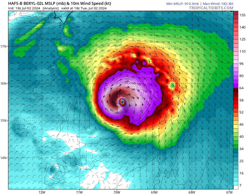
4 likes
ヤンデレ女が寝取られるているのを見たい!!!
ECMWF ensemble NWPAC plots: https://ecmwfensnwpac.imgbb.com/
Multimodel NWPAC plots: https://multimodelnwpac.imgbb.com/
GFS Ensemble NWPAC plots (16 & 35 day forecast): https://gefsnwpac.imgbb.com/
Plots updated automatically
ECMWF ensemble NWPAC plots: https://ecmwfensnwpac.imgbb.com/
Multimodel NWPAC plots: https://multimodelnwpac.imgbb.com/
GFS Ensemble NWPAC plots (16 & 35 day forecast): https://gefsnwpac.imgbb.com/
Plots updated automatically
Re: ATL: BERYL - Models
Senobia wrote:Hey, hey, everyone -
Been perusing the models thread here and I'm curious if any pro-mets have chimed in with which models they believe to be the most accurate with this system thus far. Our local mets haven't referenced any particular model at all, but one has already declared, "Beryl is going to XXX on this date at this time at this intensity." Pretty reckless, IMO - so I'm just wondering what other pro-mets' thoughts are about current models.
Also, have there been any model runs posted that include the steering pattern in the graphic?
A
Lot of reckless information about this system ,they forget that people take things they say literally.
2 likes
Harvey,Hanna,Beta,Texas Winter storm2021,Nicholas,Beryl
-
ScottNAtlanta

- Category 5

- Posts: 2535
- Joined: Sat May 25, 2013 3:11 pm
- Location: Atlanta, GA
Re: ATL: BERYL - Models
The latest HWRF is stronger into Jamaica and brushes the coast, but because it was stronger it exits stronger and goes over just the tip of the Yucatan. It then starts to strengthen again and looks to head to the middle of the TX coast.
0 likes
The posts in this forum are NOT official forecast and should not be used as such. They are just the opinion of the poster and may or may not be backed by sound meteorological data. They are NOT endorsed by any professional institution or storm2k.org. For official information, please refer to the NHC and NWS products.

Re: ATL: BERYL - Models
Blinhart wrote:tolakram wrote:Blinhart wrote:
So Lake Charles/Sabine Pass is starting to look like bulls-eye???
This far out, you want to call it? I don't understand this kind of post. Until the NHC says the gulf coast is in danger then IMO it's keep watching.
No I don't want to call it, just saying that the Ensembles are zeroing in on that area.
We're up to about 4732974329 "bulls eyes" at this point.
From what I've seen, a scant few of the ensembles have gone that far north and only a few times.
0 likes
-
sphelps8681
- Category 2
- Posts: 785
- Joined: Thu Aug 16, 2007 5:37 pm
- Location: Somewhere over the rainbow
Re: ATL: BERYL - Models
sphelps8681 wrote:When is the next model? Thanks in advance.
The sites I use (tropical tidbits, pivotal weather), it's usually the ICON first. Looks like the 0z run has started. GFS/CMC should start in an hour or so and the hurricane models after that. Euro comes in last I believe.
0 likes
Re: ATL: BERYL - Models
Here we go 0Z ICON running now. Lets see if ICON sticks to its more northern track.
1 likes
-
HurricaneBrain

- S2K Supporter
- Posts: 520
- Joined: Thu Jun 30, 2011 2:07 pm

-
sphelps8681
- Category 2
- Posts: 785
- Joined: Thu Aug 16, 2007 5:37 pm
- Location: Somewhere over the rainbow
Re: ATL: BERYL - Models
''HurricaneBrain wrote:ICON into SETX.
Dont say that. I am in SE Tx praying just a ts but dog gone. Things will probably change though. They always do. I hope.
0 likes
-
Category5Kaiju

- Category 5
- Posts: 4346
- Joined: Thu Dec 24, 2020 12:45 pm
- Location: Seattle during the summer, Phoenix during the winter
Re: ATL: BERYL - Models
0 likes
Unless explicitly stated, all information in my posts is based on my own opinions and observations. Tropical storms and hurricanes can be extremely dangerous. Refer to an accredited weather research agency or meteorologist if you need to make serious decisions regarding an approaching storm.
-
HurricaneBrain
- S2K Supporter
- Posts: 520
- Joined: Thu Jun 30, 2011 2:07 pm
Re: ATL: BERYL - Models
It is the ICON… Me personally, I wouldn’t be concerned until the GFS or EURO show a landfall in my area.
sphelps8681 wrote:''HurricaneBrain wrote:ICON into SETX.
Dont say that. I am in SE Tx praying just a ts but dog gone. Things will probably change though. They always do. I hope.
Last edited by HurricaneBrain on Tue Jul 02, 2024 10:34 pm, edited 1 time in total.
2 likes
-
AerospaceEng
- Tropical Depression

- Posts: 53
- Joined: Mon Mar 07, 2016 10:34 am
Re: ATL: BERYL - Models
HurricaneBrain wrote:ICON into SETX.
That will wake up the Historians! Big yikes.
0 likes
Who is online
Users browsing this forum: No registered users and 69 guests