Stormlover70 wrote:Way too early to predict track for a system that hasn't even formed especially with the models struggling this year. Anyone know why?
Models haven’t struggled. Ernesto forecasts were accurate within 20 miles five days out.
Moderator: S2k Moderators


Stormlover70 wrote:Way too early to predict track for a system that hasn't even formed especially with the models struggling this year. Anyone know why?


Stormlover70 wrote:Way too early to predict track for a system that hasn't even formed especially with the models struggling this year. Anyone know why?
MEANINGLESS_NUMBERS wrote:Stormlover70 wrote:Way too early to predict track for a system that hasn't even formed especially with the models struggling this year. Anyone know why?
Models haven’t struggled. Ernesto forecasts were accurate within 20 miles five days out.
SFLcane wrote:Stormlover70 wrote:Way too early to predict track for a system that hasn't even formed especially with the models struggling this year. Anyone know why?
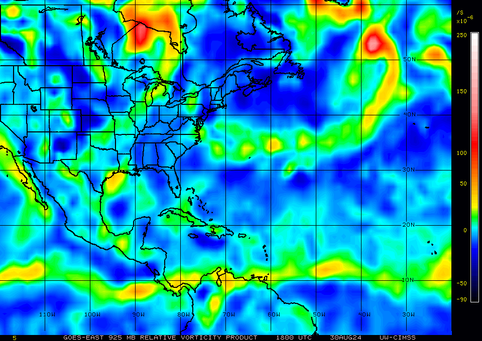
Overall pattern to be frank is indeed october like its actually been that way for weeks.
Ubuntwo wrote:SFLcane wrote:Stormlover70 wrote:Way too early to predict track for a system that hasn't even formed especially with the models struggling this year. Anyone know why?
Overall pattern to be frank is indeed october like its actually been that way for weeks.
I disagree as the high latitude ITCZ, prevalence of SAL, and reversed upper level winds off Africa the basin was struggling with are more in line with an exaggerated August climo.


SFLcane wrote:Stormlover70 wrote:Way too early to predict track for a system that hasn't even formed especially with the models struggling this year. Anyone know why?
Overall pattern to be frank is indeed october like its actually been that way for weeks.
SFLcane wrote:Ubuntwo wrote:SFLcane wrote:
Overall pattern to be frank is indeed october like its actually been that way for weeks.
I disagree as the high latitude ITCZ, prevalence of SAL, and reversed upper level winds off Africa the basin was struggling with are more in line with an exaggerated August climo.
eh, conus pattern i meant. Both GFS/EURO want to remove that East Coast ridge all together.
SFLcane wrote:Lots of 505 ERRORS today on S2K.
Users browsing this forum: No registered users and 156 guests


