

SconnieCane wrote:Frank P wrote:and the 06z GFS run gets buried in Mexico as a Cat 1.
https://i.ibb.co/txYTKXH/gfs-mslp-wind-watl-50.png
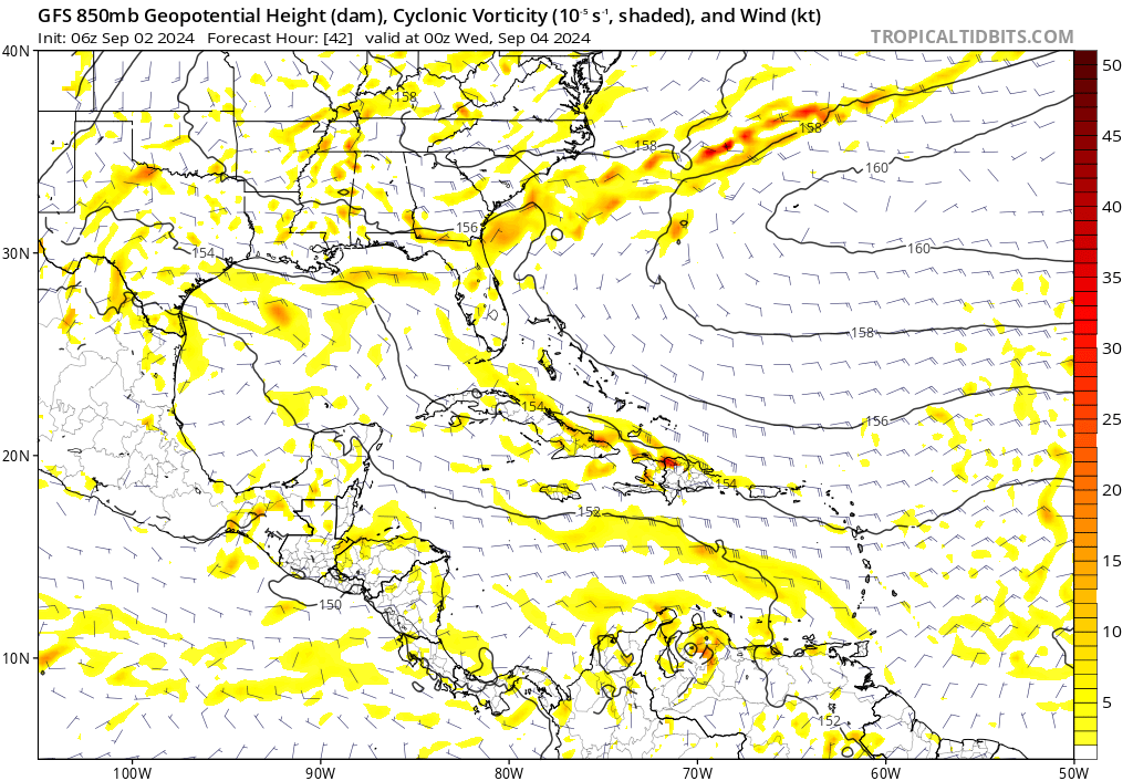
Meanwhile the GFS develops another system off the NW gulf coast of FL then and swings up the east coast brushing Boston and turns NE into the NH and Maine as a hurricane
https://i.ibb.co/rvW2qnN/gfs-mslp-wind-neus-58.png
That looks like 955mb, which would likely (although pressure/wind relationship isn't constant*, and global model MSLP can never be taken literally) be stronger than Cat. 1.
*Could be high-end Cat. 4 in a tightly wound RI-er like Charley, or high-end Cat. 1/low 2 in a sprawling system with a broad gradient like Ike or Sandy.
Sorry, I thought that pressure was 985, not 955… should have gotten a large image to see it. Thanks


