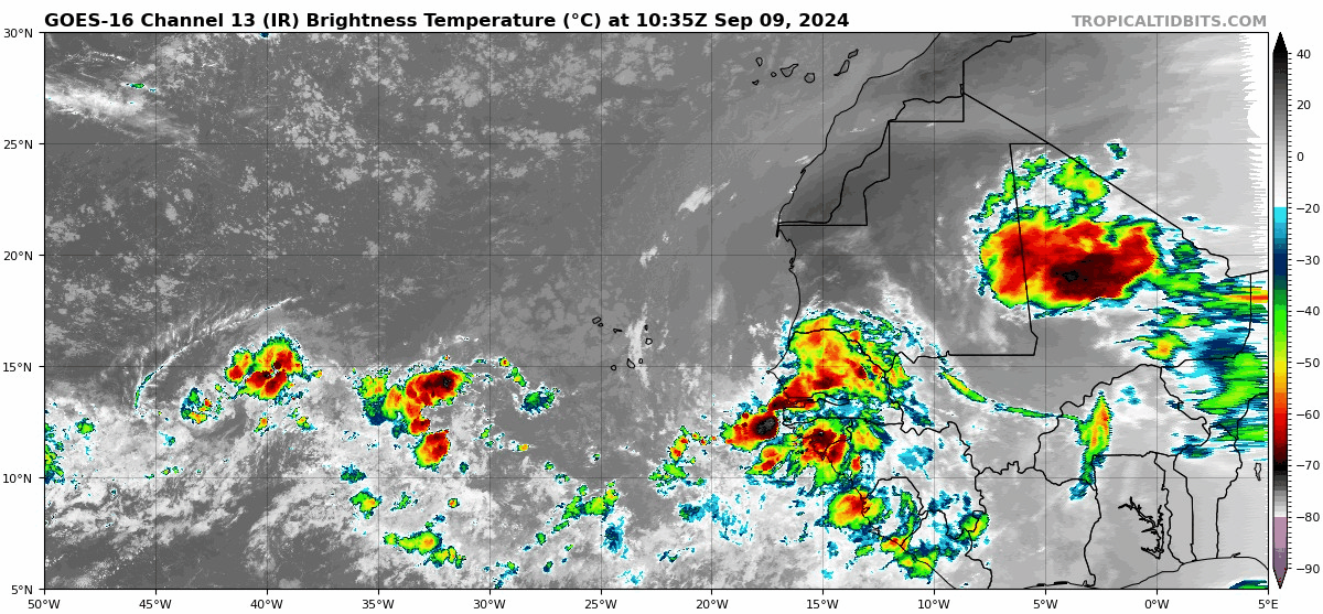
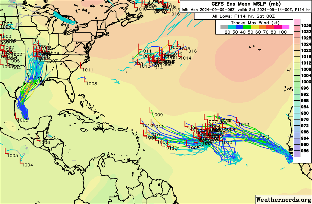
MarioProtVI wrote:Euro broadens this out to hell and basically drops it because it’s too weak to reorganize.

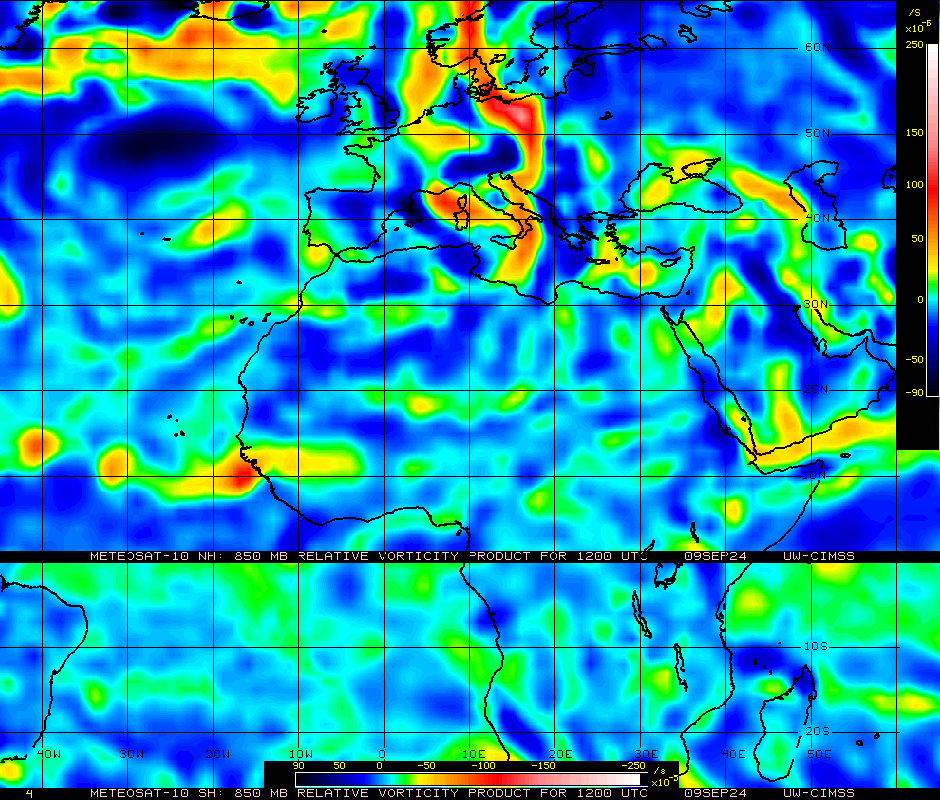
Seems like 00z Euro was a blip because EPS is still pretty active with it..
Moderator: S2k Moderators


MarioProtVI wrote:Euro broadens this out to hell and basically drops it because it’s too weak to reorganize.

MarioProtVI wrote:MarioProtVI wrote:Euro broadens this out to hell and basically drops it because it’s too weak to reorganize.
https://media.discordapp.net/attachments/857017650042503178/1282686492128575589/image0.png?ex=66e04262&is=66def0e2&hm=b13f7bc6363715c85fdcc7849d6ad6e12e074d57d315b6ae1d2ac1fcfeb6a294&
Seems like 00z Euro was a blip because EPS is still pretty active with it..
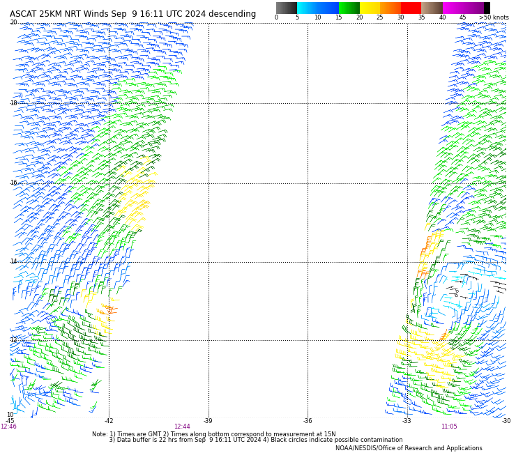
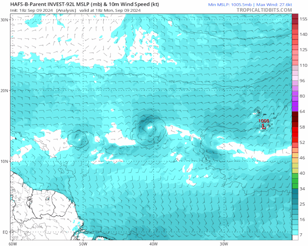
AutoPenalti wrote:FWIW, 12z GEFS coming in further south.
https://i.postimg.cc/7YmshncQ/ezgif-com-animated-gif-maker-6.gif
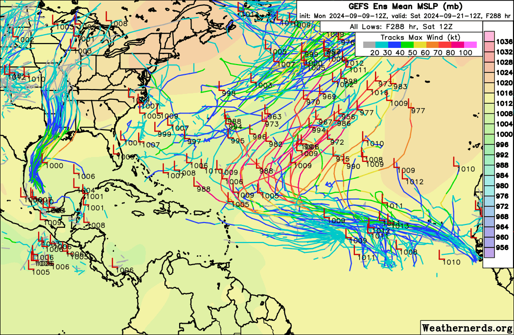
MarioProtVI wrote:MarioProtVI wrote:Euro broadens this out to hell and basically drops it because it’s too weak to reorganize.
https://media.discordapp.net/attachments/857017650042503178/1282686492128575589/image0.png?ex=66e04262&is=66def0e2&hm=b13f7bc6363715c85fdcc7849d6ad6e12e074d57d315b6ae1d2ac1fcfeb6a294&
Seems like 00z Euro was a blip because EPS is still pretty active with it..
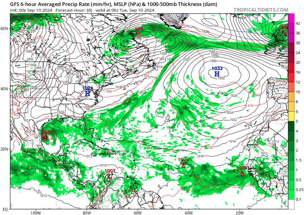
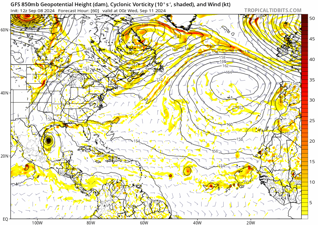
Teban54 wrote:Hmm, 0z GFS has it miss the trough that had been picking up the storm on every model and every run recently, and sends it on a continued NW track.
https://i.postimg.cc/XvMHcSP1/gfs-mslp-pcpn-atl-fh6-384.gif

Teban54 wrote:Hmm, 0z GFS has it miss the trough that had been picking up the storm on every model and every run recently, and sends it on a continued NW track.
https://i.postimg.cc/XvMHcSP1/gfs-mslp-pcpn-atl-fh6-384.gif


Users browsing this forum: Google [Bot] and 157 guests

