Teban54 wrote:wxman57 wrote:Center is separated from the convection this morning. ASCAT last evening did not have any wind higher than 30 kts. NHC should be downgrading it this morning.
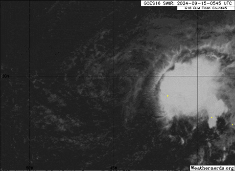
NHC still has it as a 40-kt TS:Gordon's center is exposed and located west of its deep convection.
This structure is a symptom of the moderate westerly vertical wind
shear that continues to plague the tropical storm. Gordon is also
struggling with the entrainment of dry and stable airmass. Despite
these environmental challenges, a recent scatterometer pass shows
the cyclone maintaining 40 kt maximum sustained winds. This data is
the basis for the initial intensity of this advisory, and agrees
with a blend of the objective and subjective estimates. The
scatterometer pass also shows a lopsided wind field, with tropical
storm force winds limited to the northern semicircle of Gordon. In
the southern semicircle, winds are weak and the vortex shows signs
of elongation.
Here is that ASCAT pass from roughly 12z with a large area of TS-force winds.