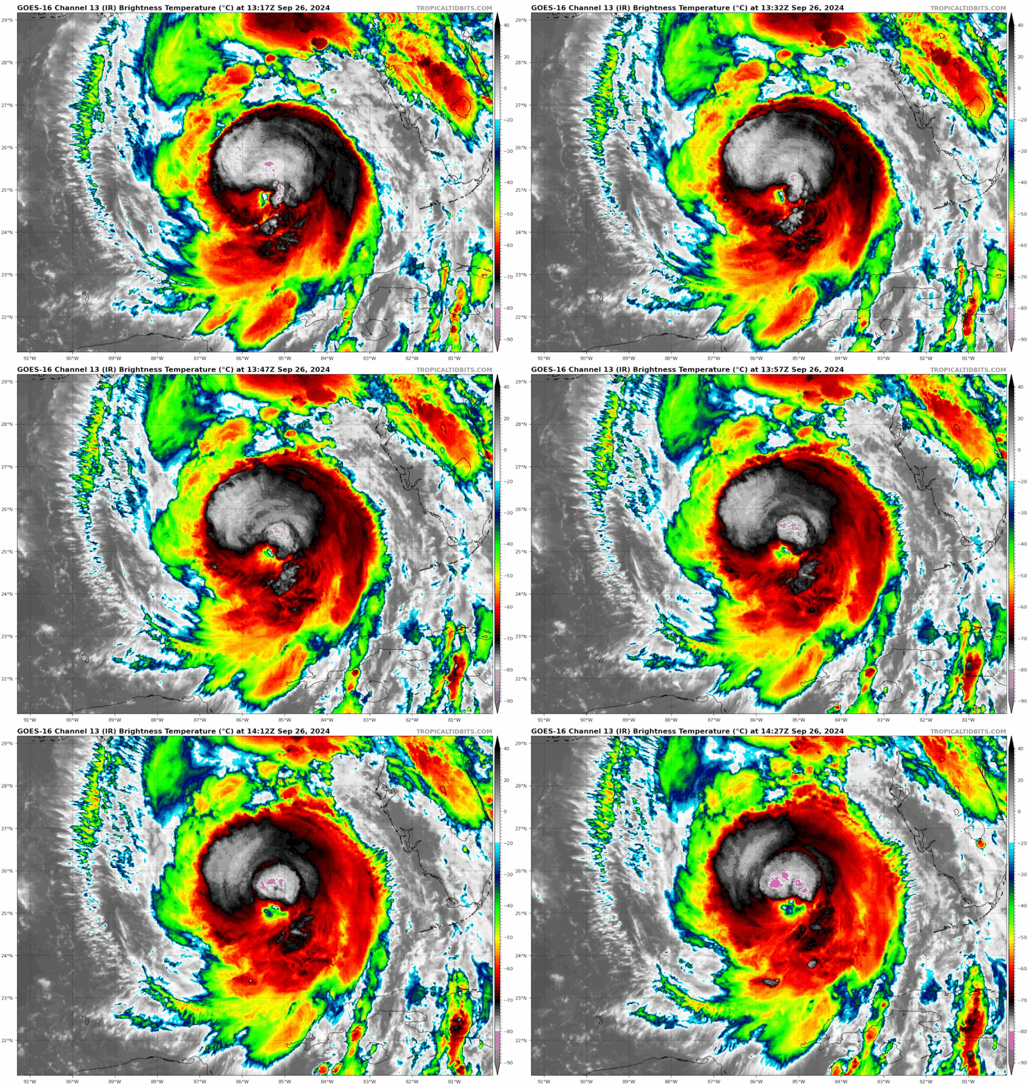
Hmmm…
Moderator: S2k Moderators


LandoWill wrote:Steve wrote:thickiminaj wrote::oops: Someone teach me what I’m doing wrong.
I just wanna show you guys this video but actually post the video not the link to it.
This is the link to the video I’ve been trying to post to show y’all Helene’s actual movement overlay on the NHC track to show east movement.
https://imgur.com/a/t7YiFfk
You got it. It’s img /img to link a hosted photo or video. Pretty cool so thanks.
I think what they are asking is.. where is the website that shows it like that, i think we all want to see it lol

thickiminaj wrote:skillz305 wrote:thickiminaj wrote::oops: Someone teach me what I’m doing wrong.
I just wanna show you guys this video but actually post the video not the link to it.
This is the link to the video I’ve been trying to post to show y’all Helene’s actual movement overlay on the NHC track to show east movement.
https://imgur.com/a/t7YiFfk
Wow! That’s one hell of a wobble
Agreed that was definitely a big wobble. I know it’s gotta be scaring folks in Tampa and North. The wobbles in this particular storm feel like higher stakes than most.
 Hurricanes: Andrew 1992 - Irene 1999 - Frances 2004 - Jeanne 2004 - Katrina 2005 - Wilma 2005 - Matthew 2016 - Irma 2017 - Ian 2022 - Nicole 2022 - Milton 2024
Kazmit wrote:Lol I've never seen such a skewed wind field. Solid cat 2 on one side and TS on the other.
https://i.ibb.co/smL0S9k/recon-AF308-1609-A-HELENE.png


Steve wrote:LandoWill wrote:Steve wrote:
You got it. It’s img /img to link a hosted photo or video. Pretty cool so thanks.
I think what they are asking is.. where is the website that shows it like that, i think we all want to see it lol
My bad. I thought they were asking how to load the moving image and not just the link. Someone else on the same page had asked about the link to the color satellite with the 3D visible overlay. So I must have gotten them confused.
I’m wondering if we get a final burst at landfall like a couple of other recent storms have done. It will be during DMAX so it could blast off coming in.


Hypercane_Kyle wrote:Not seeing a lot of evidence this thing has intensified on recon... but it's definitely growing in size.
Honestly this reminds me a lot of the old arguments we used to have over the SSHS being replaced with another scale. It's Cat 2 wind but with Cat 3/4 impacts due to surge and rain.
https://i.imgur.com/5JLV9rG.jpeg

Other plane just dropsonde'd a 962mb, if it's lower than that she's probably started crankingROCK wrote:RECON going in for another center pass...interesting to see if she has dropped any.

thickiminaj wrote:See, and it isn’t working. My post to Steve didn’t show the actual picture. Just a broken icon. I’m using the img tag with the imgur link in between. What am I doing wrong?
 Hurricanes: Andrew 1992 - Irene 1999 - Frances 2004 - Jeanne 2004 - Katrina 2005 - Wilma 2005 - Matthew 2016 - Irma 2017 - Ian 2022 - Nicole 2022 - Milton 2024
Steve wrote:LandoWill wrote:Steve wrote:
You got it. It’s img /img to link a hosted photo or video. Pretty cool so thanks.
I think what they are asking is.. where is the website that shows it like that, i think we all want to see it lol
My bad. I thought they were asking how to load the moving image and not just the link. Someone else on the same page had asked about the link to the color satellite with the 3D visible overlay. So I must have gotten them confused.
I’m wondering if we get a final burst at landfall like a couple of other recent storms have done. It will be during DMAX so it could blast off coming in.
thickiminaj wrote:See, and it isn’t working. My post to Steve didn’t show the actual picture. Just a broken icon. I’m using the img tag with the imgur link in between. What am I doing wrong?

Users browsing this forum: Google Adsense [Bot] and 9 guests