
ColdFusion wrote:johngaltfla wrote:psyclone wrote:Hurricane wind odds in Tampa fell to 37% (still high but a big drop) while hurricane wind odds in Venice rose to an astounding 67%. My goodness brace for impact down that way...!
Potential paths are close to my house down here on the south side of Sarasota.
Tomorrow night will not be dull.
Wait, so are you saying there's a 63% chance Tampa doesn't even get Hurricane strength winds now? Wow.
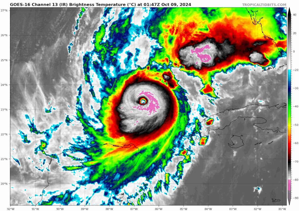
I kind of wish they would discontinue that product or explain it better. First, that's a probabilistic graphic. Second, it is for sustained winds. Gusts from Milton will be significant (as it was with Helene), especially in the northwest quadrant as we get these trough interactions tomorrow.


