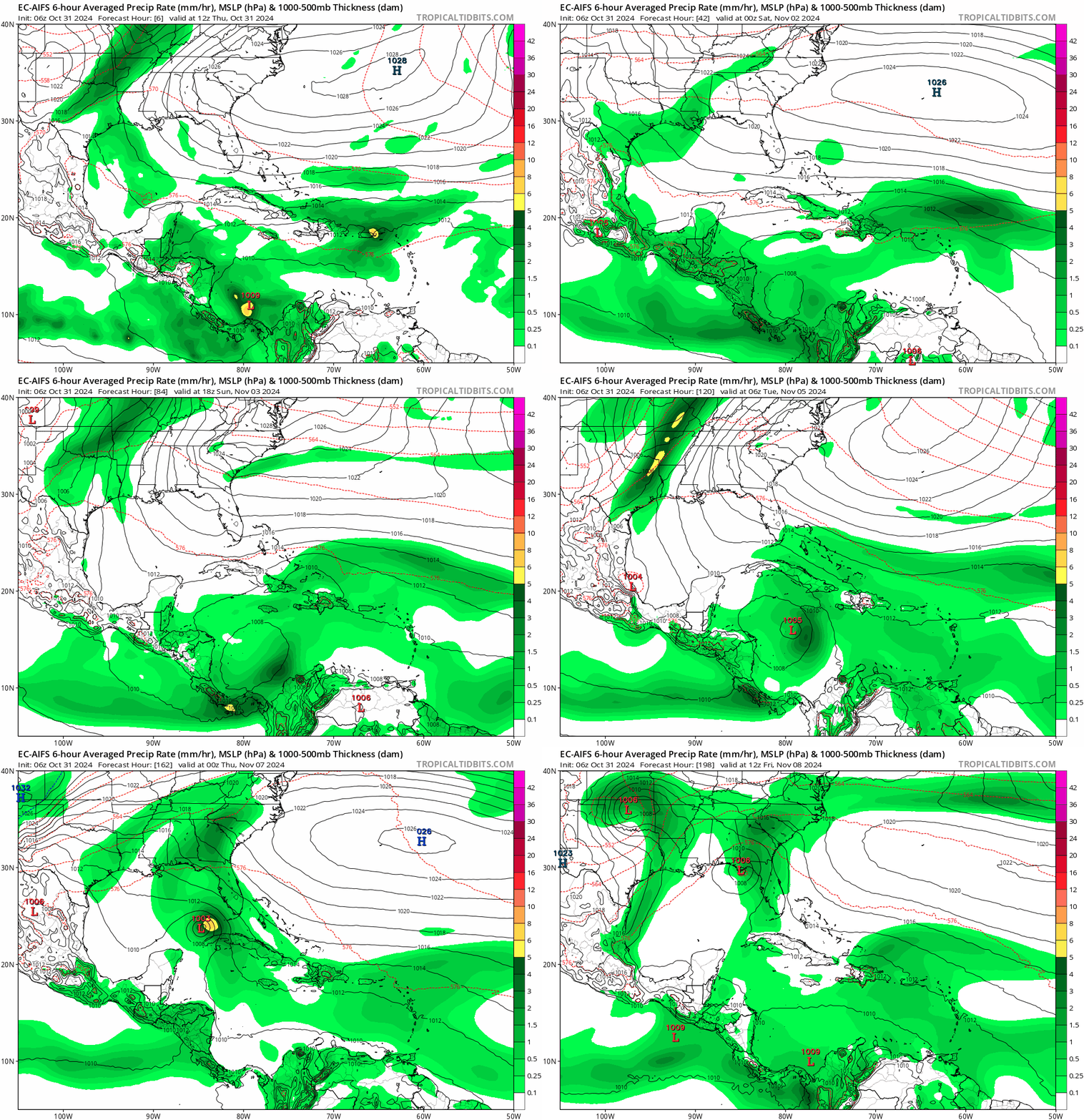
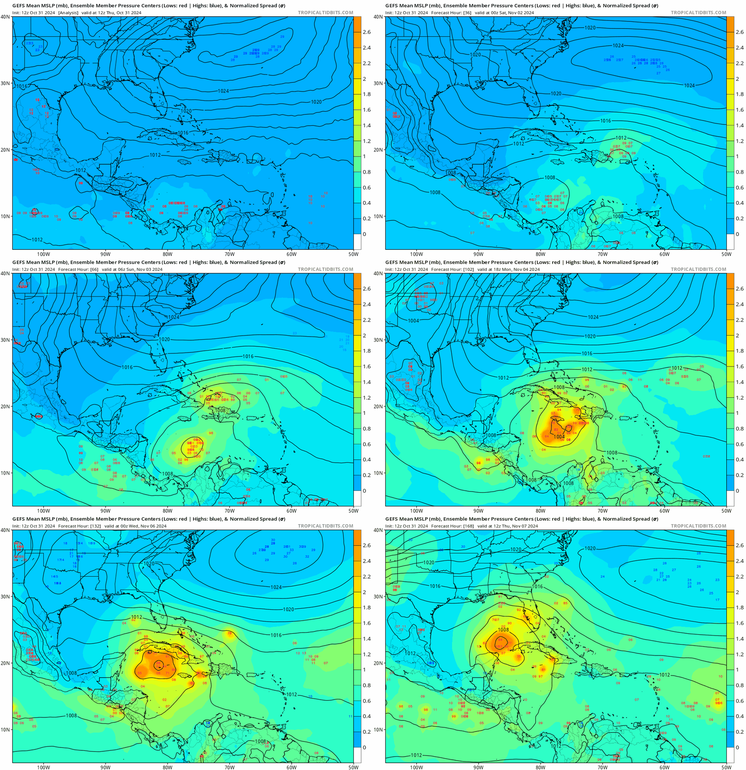
gatorcane wrote:EC-AI with a similar track as ICON into SE GOM then a turn to the NNE into Florida:
https://i.postimg.cc/PxWbP851/ec-aifs-mslp-pcpn-watl-fh72-198.gif
Is this becoming a possibility now? This is from NWS Tampa forecast discussion.
728 AM EDT Thu Oct 31 2024
...New UPDATE, AVIATION...
.UPDATE...
Issued at 726 AM EDT Thu Oct 31 2024
Another quiet morning is getting underway with mostly clear skies
and temps in the 60s to low 70s. There are a few isolated
sprinkles across ECFL. However, more prevalent drier air should
limit the westward extent today, so continuing to keep just a
mention of sprinkles over the interior, and no mention near the
coast.
Overall, it should be pretty spooktacular for the evening with no
major weather impacts. While temperatures will run a bit above
normal and will start out warm, the evening should be fairly nice as
the sun starts to set. By 7PM, temperatures should be dropping into
the 70s.
The forecast remains on track.|
&&
.DISCUSSION...
Issued at 250 AM EDT Thu Oct 31 2024
Surface high pressure off the southeast U.S. coast will keep a
breezy easterly flow across the region today then diminish some on
Friday as the high moves further east and weakening cold front
moves into the southeast states. This front will eventually wash
out well north of the region with another area of high pressure
moving across the eastern states and building into our area over
the weekend. Overall the warm weather will continue through the
weekend with a few sprinkles/light showers possible each day,
mainly during the afternoon and evening hours.
Early next week the second high will move out into the Atlantic
Ocean with a more east to southeast flow setting up. Models are
still trying to indicate the possibility of a low pressure
area/weak tropical system moving north or northwest out of the
western Caribbean Sea next week, but overall confidence in the
location and strength of this system is very low. It does however
look like we`ll see some deeper moisture spread over the area by
midweek bringing us a better chance of showers.


