Texas Fall 2024
Moderator: S2k Moderators
Forum rules

The posts in this forum are NOT official forecast and should not be used as such. They are just the opinion of the poster and may or may not be backed by sound meteorological data. They are NOT endorsed by any professional institution or STORM2K.
-
Stratton23
- Category 5

- Posts: 3541
- Joined: Fri Jul 21, 2023 10:59 pm
- Location: Katy, Tx
Re: Texas Fall 2024
cheezyWXguy wrote:Cell near Clifton is currently the one to watch for dfw
Was just looking at that one on radar. Headed our way.
0 likes
-
ElectricStorm

- Category 5
- Posts: 5146
- Age: 25
- Joined: Tue Aug 13, 2019 11:23 pm
- Location: Norman, OK
Re: Texas Fall 2024
PDS warning with likely strong tornado near Nowata, OK
0 likes
B.S Meteorology, University of Oklahoma '25
Please refer to the NHC, NWS, or SPC for official information.
Please refer to the NHC, NWS, or SPC for official information.
Re: Texas Fall 2024
cheezyWXguy wrote:HockeyTx82 wrote:I'm guessing the most will be along the line, are they expecting discrete cells as the catalyst for ef2 and above?
Something is not adding up.
I fear because it's November people are not paying attention.
The storms that will have the highest chance to produce tornadoes will be those that congeal in the confluence bands ahead of the main line. Right now, these are ragged clusters of tiny cells streaming northward. The concern is that some of these will aggregate into cells that would be able to capitalize on the environment. Watch for any that do this, and start to bend their track to the right of the mean motion. A good, but rather extreme, example of this congealing set up would be the garland ef4 on 12/26/15, same with 4/3/12 when that Arlington ef2 sent those tractor trailers flying on video. Outcomes like that might not occur, but that’s what to watch for.
Additionally, if the line out west either breaks up enough to allow for semi-discrete supercells, or solidifies into a mature mcs, tornadoes could occur there. I think the former is more possible, since that’s basically what we’re currently seeing in Oklahoma, but I guess we’ll see. 12/13/22* is probably a good analog for this as well. A lot of similar setups in the past have amounted to nothing, but a couple have been notable.
* corrected analog
It's getting pretty randy just SW of DFW now...
1 likes
-
bubba hotep

- S2K Supporter

- Posts: 6014
- Joined: Wed Dec 28, 2016 1:00 am
- Location: Collin County Texas
Re: Texas Fall 2024
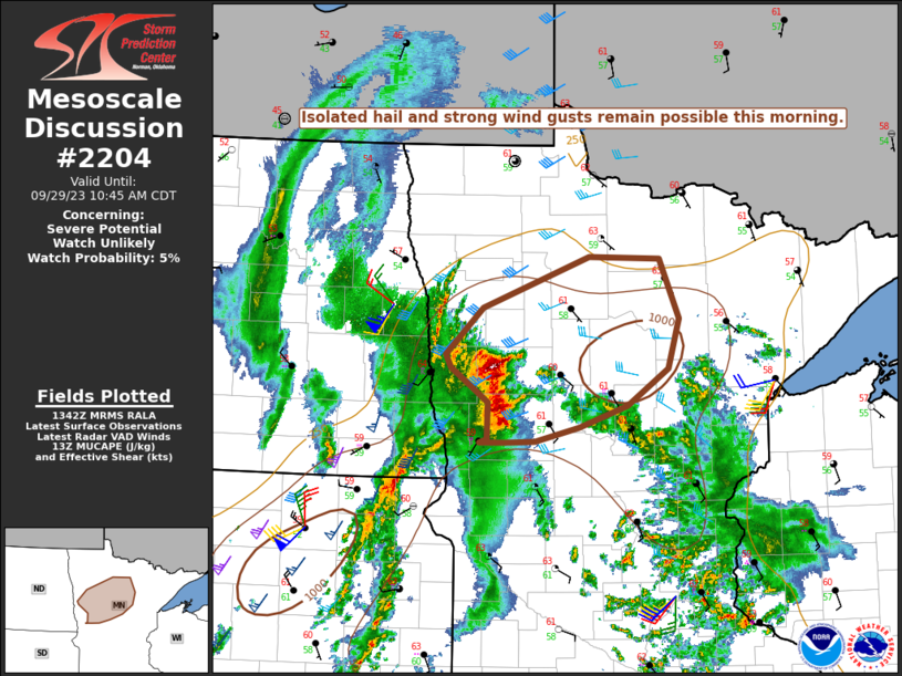
Mesoscale Discussion 2204
NWS Storm Prediction Center Norman OK
0107 PM CST Mon Nov 04 2024
Areas affected...Northern Texas
Concerning...Tornado Watch 704...
Valid 041907Z - 042030Z
The severe weather threat for Tornado Watch 704 continues.
SUMMARY...A corridor of higher tornado potential may be developing
across northern Texas, including the Dallas/Fort-Worth metro area,
based on storm and environmental trends.
DISCUSSION...Large-scale ascent associated with the primary upper
low across eastern NM/western TX is beginning to overspread central
TX as evident by an increase in cellular convection across the warm
sector over the past 1-2 hours. More recently, a few cells have show
signs of robust intensification within a corridor of higher MLCAPE
where temperatures have climbed into the low 80s with low 70s
dewpoints. The FWD VWP is sampling 0-1 km SRH values around 150
m2/s2, which, in conjunction with MLCAPE values upwards of 2000
J/kg, is supporting STP values between 1-2 across the region. A
couple of robust supercells will likely emerge over the next 1-2
hours with an increasing large hail and tornado threat (including
the potential for a strong tornado) prior to the passage of a
outflow-dominant squall line from the west.
..Moore.. 11/04/2024
...Please see www.spc.noaa.gov for graphic product...
ATTN...WFO...SHV...FWD...OUN...
0 likes
Winter time post are almost exclusively focused on the DFW area.
-
Brent
- S2K Supporter
- Posts: 38740
- Age: 37
- Joined: Sun May 16, 2004 10:30 pm
- Location: Tulsa Oklahoma
- Contact:
Re: Texas Fall 2024
94 mph wind gust north of here
And it's snowing in the Panhandle
And it's snowing in the Panhandle
1 likes
#neversummer
Re: Texas Fall 2024
bubba hotep wrote:https://www.spc.noaa.gov/products/md/mcd2204.png
Mesoscale Discussion 2204
NWS Storm Prediction Center Norman OK
0107 PM CST Mon Nov 04 2024
Areas affected...Northern Texas
Concerning...Tornado Watch 704...
Valid 041907Z - 042030Z
The severe weather threat for Tornado Watch 704 continues.
SUMMARY...A corridor of higher tornado potential may be developing
across northern Texas, including the Dallas/Fort-Worth metro area,
based on storm and environmental trends.
DISCUSSION...Large-scale ascent associated with the primary upper
low across eastern NM/western TX is beginning to overspread central
TX as evident by an increase in cellular convection across the warm
sector over the past 1-2 hours. More recently, a few cells have show
signs of robust intensification within a corridor of higher MLCAPE
where temperatures have climbed into the low 80s with low 70s
dewpoints. The FWD VWP is sampling 0-1 km SRH values around 150
m2/s2, which, in conjunction with MLCAPE values upwards of 2000
J/kg, is supporting STP values between 1-2 across the region. A
couple of robust supercells will likely emerge over the next 1-2
hours with an increasing large hail and tornado threat (including
the potential for a strong tornado) prior to the passage of a
outflow-dominant squall line from the west.
..Moore.. 11/04/2024
...Please see http://www.spc.noaa.gov for graphic product...
ATTN...WFO...SHV...FWD...OUN...
Might have spoke too soon.
Things are looking more messy on the latest radar frames, and the active warnings have ended.
0 likes
-
HockeyTx82
- S2K Supporter
- Posts: 2791
- Joined: Tue Oct 27, 2009 11:17 am
- Location: Ponder, TX
Re: Texas Fall 2024
Looks like the outflow passed through Ponder so guess our severe chances have diminished?
My wife was trying to park back in the garage and can't, so my question about are we out of the woods once that lines passes was serious if anyone knows.
I hope everyone stays safe out there today.
My wife was trying to park back in the garage and can't, so my question about are we out of the woods once that lines passes was serious if anyone knows.
I hope everyone stays safe out there today.
Last edited by HockeyTx82 on Mon Nov 04, 2024 2:55 pm, edited 1 time in total.
0 likes
Don't hold me accountable for anything I post on this forum. Leave the real forecasting up to the professionals.
Location: Ponder, TX (all observation posts are this location unless otherwise noted)
Location: Ponder, TX (all observation posts are this location unless otherwise noted)
-
cheezyWXguy

- Category 5
- Posts: 6282
- Joined: Mon Feb 13, 2006 12:29 am
- Location: Dallas, TX
Re: Texas Fall 2024
Very small but notable couplet south of Alvarado, we’ll see if it persists
0 likes
-
cheezyWXguy
- Category 5
- Posts: 6282
- Joined: Mon Feb 13, 2006 12:29 am
- Location: Dallas, TX
Re: Texas Fall 2024
Looks like an inflow notch may be trying to show up near cedar hill. Need to watch that
1 likes


Re: Texas Fall 2024
HockeyTx82 wrote:Looks like the outflow passed through Ponder so guess our severe chances have diminished?
My wife was trying to park back in the garage and can't, so my question about are we out of the woods once that lines passes was serious if anyone knows.
I hope everyone stays safe out there today.
East and Northeast parts of the metroplex is where it's still juicy. Behind the outflow there is diminished risk.
0 likes
The above post and any post by Ntxw is NOT an official forecast and should not be used as such. It is just the opinion of the poster and may or may not be backed by sound meteorological data. It is NOT endorsed by any professional institution including Storm2k. For official information, please refer to NWS products.
Help support Storm2K!
Re: Texas Fall 2024
Quiet as its kept, might have a flash flood episode setting up for parts of DFW too...
0 likes
-
bubba hotep
- S2K Supporter
- Posts: 6014
- Joined: Wed Dec 28, 2016 1:00 am
- Location: Collin County Texas
Re: Texas Fall 2024
cheezyWXguy wrote:Looks like an inflow notch may be trying to show up near cedar hill. Need to watch that
They finally svr warned that cell.
0 likes
Winter time post are almost exclusively focused on the DFW area.
-
rwfromkansas
- Category 5
- Posts: 3032
- Joined: Sat Aug 27, 2005 12:47 am
- Location: North Fort Worth
-
rwfromkansas
- Category 5
- Posts: 3032
- Joined: Sat Aug 27, 2005 12:47 am
- Location: North Fort Worth
Re: Texas Fall 2024
So far, only .20 IMBY during this "rainy" period. I guess better than the complete dryness, not not living up to the hype.
0 likes
Re: Texas Fall 2024
snownado wrote:Quiet as its kept, might have a flash flood episode setting up for parts of DFW too...
Flood Advisory in effect for Dallas County until 6pm...
0 likes
Re: Texas Fall 2024
rwfromkansas wrote:So far, only .20 IMBY during this "rainy" period. I guess better than the complete dryness, not not living up to the hype.
That's just really bad luck...
0 likes
-
CaptinCrunch

- S2K Supporter
- Posts: 8779
- Age: 58
- Joined: Mon Nov 03, 2003 4:33 pm
- Location: Kennedale, TX (Tarrant Co.)
Re: Texas Fall 2024
Here in DT FTW it was just a very light shower that passed through. At a 100% coverage of the forecast area for precipitation, the amounts vary from a Trace to over an inch. If you were lucky enough to be under a cell you got a pretty good soaker, but those heavier cells are limited across the forecast are, I would estimate about 50% saw less than .25" total over the last 4 days.
0 likes
-
bubba hotep
- S2K Supporter
- Posts: 6014
- Joined: Wed Dec 28, 2016 1:00 am
- Location: Collin County Texas
Re: Texas Fall 2024
snownado wrote:Quiet as its kept, might have a flash flood episode setting up for parts of DFW too...
https://x.com/Fox4Weather/status/1853552180222955923
0 likes
Winter time post are almost exclusively focused on the DFW area.
Return to “USA & Caribbean Weather”
Who is online
Users browsing this forum: Google Adsense [Bot] and 75 guests