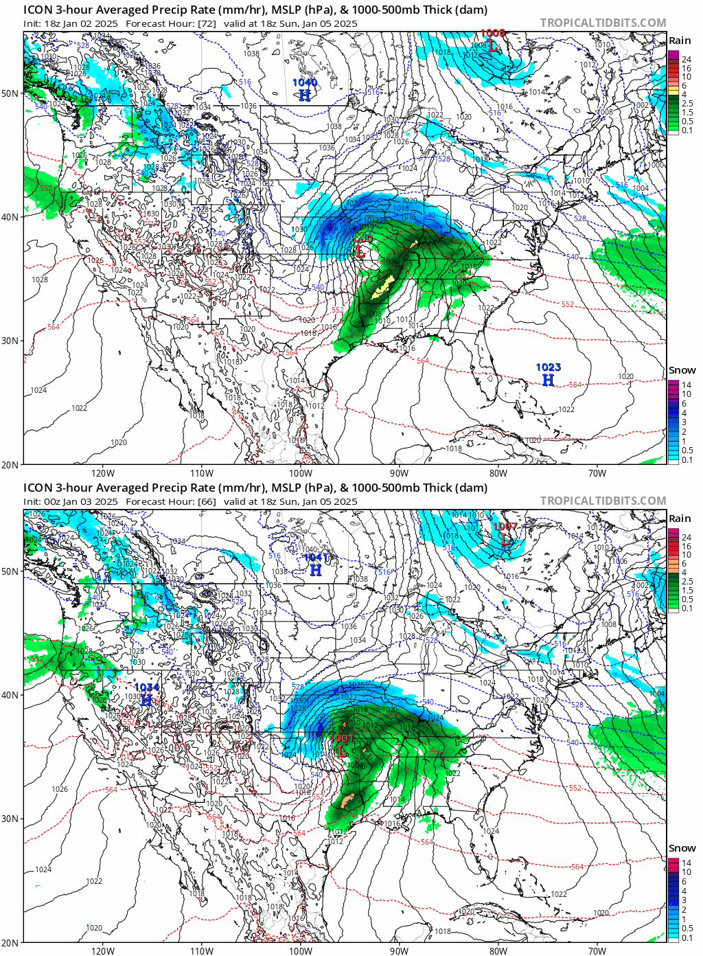
Ntxw wrote:Brandon8181 wrote:HockeyTx82 wrote:
I'm not the expert and somebody else will probably add, but they manually do all those forecasts versus a computer outputting it, so it takes time for them to update everything. Right now that's just the safe forecast because that's the typical day that we would most likely have this far out.
I get that. I really do. Obviously, them sounded the alarm vs our chatter here is completely different. I just, feel like at this time atleast a Rain/Snow mix picture with highs in the 40's is appropriate for Thursday. 10%
It just seems like the confidence would be enough for a mention.
Not 100% certain but over the years I have noticed they often follow MOS statistical guidance in their forecasts. It's a statistical approach rather than purely dynamical/NWP model forecasts, what you and I are used to seeing. It has climo involved a lot and they adjust subtly. If you ever heard of 'stat' method from Steve McCauley it's a similar approach. From a NWS forecasting perspective it's very much about probability rather than possibility all the time.
When I was reading the Wichita discussions about the Kansas storm, they seem much less focused on probability. It doesn't seem to be their main focus, unlike FWD.
 The posts in this forum are NOT official forecast and should not be used as such. They are just the opinion of the poster and may or may not be backed by sound meteorological data. They are NOT endorsed by any professional institution or


